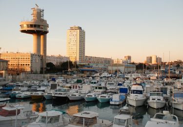
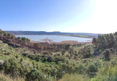
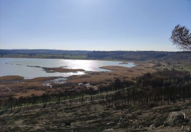
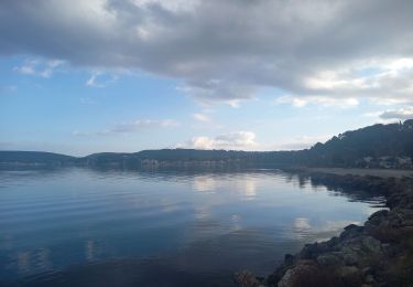
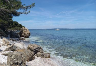
Trail Walking Port-de-Bouc - entre 3 etangs - Photo
 guiolo
guiolo

User

© OpenStreetMap contributors
Length
Length
7.5 km
Max alt
Max alt
67 m
Uphill gradient
Uphill gradient
77 m
Km-Effort
Km-Effort  
8.5 km
Min alt
Min alt
38 m
Downhill gradient
Downhill gradient
78 m
Boucle
Boucle
Yes
Creation date :
2015-03-01 00:00:00.0
Updated on :
2015-03-01 00:00:00.0

(0 Reviews)

Walking
Walking
1h57
Difficulty : Unknown

Scan this QR Code to open this trail in the SityTrail application

FREE GPS app for hiking

Logo SityTrail SityTrail

IGN / Geographical institutes

Download SityTrail from the App Store Download SityTrail from Google Play

Logo SityTrail SityTrail World

The world is yours!

Download SityTrail from the App Store Download SityTrail from Google Play Download SityTrail on Huawei AppGallery

About

Trail Walking of 7.5 km to be discovered at Provence-Alpes-Côte d'Azur, Bouches-du-Rhône, Port-de-Bouc. This trail is proposed by guiolo.

Description

pourra citis lavalduc

Elevation profile

Positioning

Country:
France
Region :
Provence-Alpes-Côte d'Azur
Department/Province :
Bouches-du-Rhône
Municipality :
Port-de-Bouc
Location:
Unknown
Start:(UTM)
660631 ; 4812057 (31T) N.

Trails nearby

Trail On foot Port-de-Bouc - La Presqu’ile - Le sentier du littoral - Photo
On foot
GUIDE+

On foot

Easy
Port-de-Bouc, Provence-Alpes-Côte d'Azur, Bouches-du-Rhône, France
3.9 km | 4.5 km-effort
1h 0min
Yes
Trail On foot Saint-Mitre-les-Remparts - Forêt de Castillon Etang de Saint-Blaise - Photo
On foot
GUIDE+

On foot

Easy
Saint-Mitre-les-Remparts, Provence-Alpes-Côte d'Azur, Bouches-du-Rhône, France
6.1 km | 7.1 km-effort
1h 36min
No
Trail On foot Saint-Mitre-les-Remparts - Entre mer et étangs - Photo
On foot
GUIDE+

On foot

Very difficult
Saint-Mitre-les-Remparts, Provence-Alpes-Côte d'Azur, Bouches-du-Rhône, France
39 km | 46 km-effort
10h 22min
Yes
Trail On foot Saint-Mitre-les-Remparts - Du Crépon aux Rocalèdes - Photo
On foot
GUIDE+

On foot

Easy
Saint-Mitre-les-Remparts, Provence-Alpes-Côte d'Azur, Bouches-du-Rhône, France
6.1 km | 8 km-effort
1h 49min
Yes
Trail On foot Port-de-Bouc - Forêt de Castillon Etangs de Pourra et d’Engrenier - Photo
On foot
GUIDE+

On foot

Easy
Port-de-Bouc, Provence-Alpes-Côte d'Azur, Bouches-du-Rhône, France
6.1 km | 7.7 km-effort
1h 45min
No
Trail On foot Saint-Mitre-les-Remparts - Les Tours Gros - Photo
On foot
GUIDE+

On foot

Easy
Saint-Mitre-les-Remparts, Provence-Alpes-Côte d'Azur, Bouches-du-Rhône, France
6.2 km | 7.9 km-effort
1h 48min
Yes
Trail Mountain bike Fos-sur-Mer - sortie du 01 09 2013 - Photo
Mountain bike
d.odasso

Mountain bike

Very easy
(1)
Fos-sur-Mer, Provence-Alpes-Côte d'Azur, Bouches-du-Rhône, France
25 km | 29 km-effort
1h 38min
Yes
Trail Walking Martigues - Parc de Figuerolles 26.5.24 - Photo
Walking
GUIDE
fredetpascale

Walking

Easy
Martigues, Provence-Alpes-Côte d'Azur, Bouches-du-Rhône, France
9.4 km | 11 km-effort
3h 0min
Yes
Trail Walking Saint-Mitre-les-Remparts - Étangs de St Mitre les remparts  - Photo
Walking
nana1643

Walking

Easy
Saint-Mitre-les-Remparts, Provence-Alpes-Côte d'Azur, Bouches-du-Rhône, France
8 km | 9.6 km-effort
3h 36min
No


Close
My subscriptions