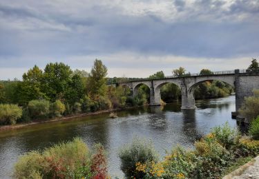
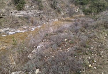
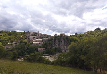
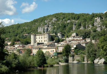
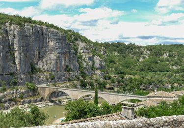
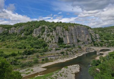
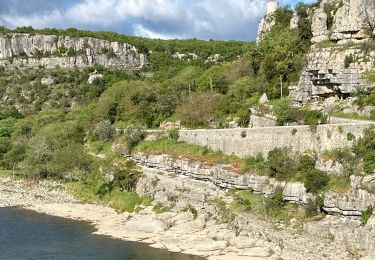
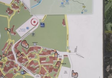
Trail Walking Lanas - Lanas Figeyrasse La Mare - Photo

Lanas Figeyrasse La Mare

 pb07
pb07

User

© OpenStreetMap contributors
Length
Length
12.3 km
Max alt
Max alt
285 m
Uphill gradient
Uphill gradient
249 m
Km-Effort
Km-Effort  
15.6 km
Min alt
Min alt
140 m
Downhill gradient
Downhill gradient
250 m
Boucle
Boucle
Yes
Creation date :
2024-01-08 09:04:57.393
Updated on :
2024-01-08 14:02:27.535

(0 Reviews)

Walking
Walking
4h00
Difficulty : Difficult

Scan this QR Code to open this trail in the SityTrail application

FREE GPS app for hiking

Logo SityTrail SityTrail

IGN / Geographical institutes

Download SityTrail from the App Store Download SityTrail from Google Play

Logo SityTrail SityTrail World

The world is yours!

Download SityTrail from the App Store Download SityTrail from Google Play Download SityTrail on Huawei AppGallery

About

Trail Walking of 12.3 km to be discovered at Auvergne-Rhône-Alpes, Ardèche, Lanas. This trail is proposed by pb07.

Elevation profile

Positioning

Country:
France
Region :
Auvergne-Rhône-Alpes
Department/Province :
Ardèche
Municipality :
Lanas
Location:
Unknown
Start:(UTM)
611146 ; 4931580 (31T) N.

Trails nearby

Trail Walking Vogüé - Vogue Gare Lanas 7km5 - Photo
Walking
GUIDE
chancha

Walking

Easy
(1)
Vogüé, Auvergne-Rhône-Alpes, Ardèche, France
7.4 km | 8.8 km-effort
2h 3min
Yes
Trail Walking Rochecolombe - 07 rochecompmbe gour sompe - Photo
Walking
GUIDE
randodyssée

Walking

Medium
Rochecolombe, Auvergne-Rhône-Alpes, Ardèche, France
17 km | 23 km-effort
6h 22min
Yes
Trail Walking Chauzon - camping le coin charmant Chauzon à Balazuc - Photo
Walking
GUIDE
nadd73

Walking

Medium
Chauzon, Auvergne-Rhône-Alpes, Ardèche, France
13.4 km | 19.2 km-effort
3h 8min
Yes
Trail Walking Saint-Germain - 2022-04-03_19h13m38_St Germain Vogüé 10km.gpx.xml - Photo
Walking
GUIDE
chancha

Walking

Medium
Saint-Germain, Auvergne-Rhône-Alpes, Ardèche, France
9.6 km | 11.9 km-effort
2h 40min
Yes
Trail Walking Balazuc - 2024-07-01_17h54m21_Balazuc Cirque de Gens 19km - Photo
Walking
GUIDE
chancha

Walking

Very difficult
Balazuc, Auvergne-Rhône-Alpes, Ardèche, France
19.2 km | 26 km-effort
5h 53min
Yes
Trail Walking Balazuc - Balazuc Servieres Viel-Audon 9km. - Photo
Walking
GUIDE
chancha

Walking

Difficult
Balazuc, Auvergne-Rhône-Alpes, Ardèche, France
9 km | 12.7 km-effort
2h 53min
Yes
Trail sport Saint-Sernin - 2024-05-10_14h11m42_serre de vinobre - v3 (2) - Photo
sport
Martine Pansier

sport

Very easy
(1)
Saint-Sernin, Auvergne-Rhône-Alpes, Ardèche, France
6.5 km | 9.1 km-effort
Unknown
Yes
Trail sport Balazuc - Balazuc la tour de Jeanne le Viel Audon  - Photo
sport
alinetpierre

sport

Very easy
Balazuc, Auvergne-Rhône-Alpes, Ardèche, France
8.5 km | 12.3 km-effort
Unknown
Yes
Trail Walking Balazuc - 07_balazuc_5km210m - Photo
Walking
SyMA

Walking

Easy
Balazuc, Auvergne-Rhône-Alpes, Ardèche, France
5.2 km | 8 km-effort
1h 45min
Yes


Close
My subscriptions