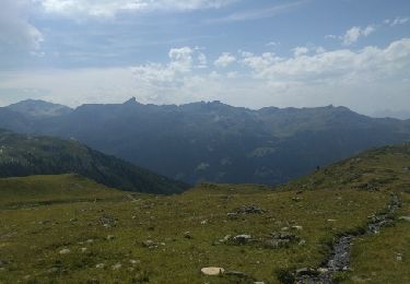
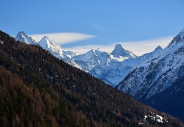
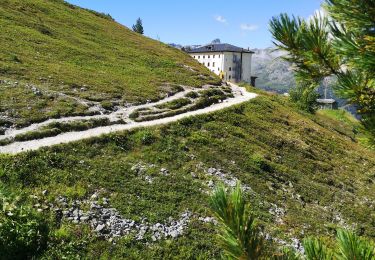
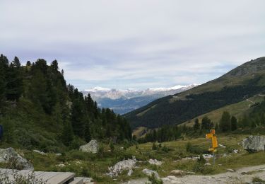
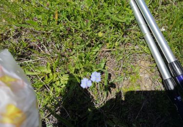
Trail Walking Anniviers - Les Promenades Botaniques - Photo

Les Promenades Botaniques

© OpenStreetMap contributors
Length
Length
1.9 km
Max alt
Max alt
2272 m
Uphill gradient
Uphill gradient
126 m
Km-Effort
Km-Effort  
3.5 km
Min alt
Min alt
2135 m
Downhill gradient
Downhill gradient
111 m
Boucle
Boucle
No
Creation date :
2014-12-10 00:00:00.0
Updated on :
2014-12-10 00:00:00.0

(0 Reviews)

Walking
Walking
49m
Difficulty : Unknown

Scan this QR Code to open this trail in the SityTrail application

FREE GPS app for hiking

Logo SityTrail SityTrail

IGN / Geographical institutes

Download SityTrail from the App Store Download SityTrail from Google Play

Logo SityTrail SityTrail World

The world is yours!

Download SityTrail from the App Store Download SityTrail from Google Play Download SityTrail on Huawei AppGallery

About

Trail Walking of 1.9 km to be discovered at Valais/Wallis, Sierre, Anniviers. This trail is proposed by chandolin.

Description

Les promenades Botaniques de Chandolin permettent à tout un chacun de découvrir la flore abondante de nos Alpes ou de compléter ses connaissances dans le domaine de la botanique. La commune de Chandolin, par son étendue et la diversité des ses biotopes, possède une flore très riche, englobant également plusieurs espéces rares pour le Val d''Anniviers, voire même pour le valais.
Les promenades Botaniques de Chandolin vous font découvrir cette flore à travers vingt-deux postes situés le long des différents sentiers pédestres entre 2000 et 2700 mètres d''altitude, elle peuvent être empruntées du printemps à l''automne.
Un guide illustré vous donnera tous les renseignements sur les différenes espèces et leur période de floraison.
Les Promenade Botaniques de Chandolin vous donnent la possibilité d''apprécier la flore de notre région dans une nature intacte et un cadre magnifique. Elles permettrons aussi aux chanceux d''observer les animaux qui participent à l''équilibre de l''écosystème.

Elevation profile

Points of interest

Point of interest Anniviers - poi_12385 - Photo
chandolin
ANNIVIERS 
Point of interest Anniviers - poi_23893 - Photo
chandolin
ANNIVIERS 

Positioning

Country:
Switzerland
Region :
Valais/Wallis
Department/Province :
Sierre
Municipality :
Anniviers
Location:
Unknown
Start:(UTM)
391889 ; 5123464 (32T) N.

Trails nearby

Trail Walking Anniviers - St Luc Bella Tolla lacs - circuit - Photo
Walking
elcanario

Walking

Easy
(1)
Anniviers, Valais/Wallis, Sierre, Switzerland
11.5 km | 19.5 km-effort
3h 45min
No
Trail On foot Anniviers - Chandolin-St Luc - Photo
On foot
GUIDE+

On foot

Easy
Anniviers, Valais/Wallis, Sierre, Switzerland
4.9 km | 7.4 km-effort
1h 40min
No
Trail Walking Sierre - Sierre à Chandolin - Photo
Walking
chandolin

Walking

Very easy
(1)
Sierre, Valais/Wallis, Sierre, Switzerland
11.5 km | 28 km-effort
7h 24min
No
Trail Walking Anniviers - Weisshorn  - Photo
Walking
suzanne.bron

Walking

Medium
Anniviers, Valais/Wallis, Sierre, Switzerland
4.8 km | 7.4 km-effort
2h 23min
No
Trail Walking Anniviers - weisshorn - Photo
Walking
suzanne.bron

Walking

Medium
(1)
Anniviers, Valais/Wallis, Sierre, Switzerland
4.7 km | 7.4 km-effort
1h 43min
No
Trail Nordic walking Anniviers - Weisshorn - Photo
Nordic walking
suzanne.bron

Nordic walking

Very easy
Anniviers, Valais/Wallis, Sierre, Switzerland
14.2 km | 21 km-effort
4h 36min
No
Trail On foot Anniviers - Tignousa-Le Tsapé - Photo
On foot
GUIDE+

On foot

Easy
Anniviers, Valais/Wallis, Sierre, Switzerland
3.8 km | 7.7 km-effort
1h 45min
No
Trail On foot Oberems - Meidpass-Toûno - Photo
On foot
GUIDE+

On foot

Easy
Oberems, Valais/Wallis, Leuk, Switzerland
3.5 km | 5.4 km-effort
1h 13min
No
Trail Walking Sierre - Promenade de Finges - Photo
Walking
GUIDE+

Walking

Very easy
Sierre, Valais/Wallis, Sierre, Switzerland
8.4 km | 10.4 km-effort
2h 29min
No


Close
My subscriptions