


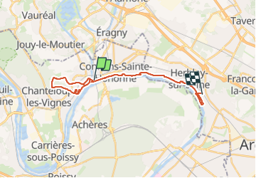

23 km | 28 km-effort


User GUIDE


FREE GPS app for hiking
 SityTrail
IGN / Geographical institutes
SityTrail World
The world is yours!
Trail On foot of 22 km to be discovered at Ile-de-France, Yvelines, Conflans-Sainte-Honorine. This trail is proposed by chessyca.
Rando menée pour le RCY le 7 janvier 2024.
Un peu de dénivelé à mentionner. Un peu de boue dans la partie haute d'Andresy


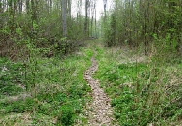
On foot

Walking

Walking

Running
Walking
Walking

Walking
On foot

Nordic walking