
Saxon-Sion 12 300m + 282m (théorique)

DanielROLLET
User

Length
12.2 km

Max alt
531 m

Uphill gradient
282 m

Km-Effort
16 km

Min alt
399 m

Downhill gradient
281 m
Boucle
Yes
Creation date :
2024-01-05 08:24:38.273
Updated on :
2024-01-05 19:18:48.946
3h38
Difficulty : Difficult

FREE GPS app for hiking
About
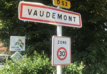
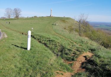
Trail Walking of 12.2 km to be discovered at Grand Est, Meurthe-et-Moselle, Vaudémont. This trail is proposed by DanielROLLET.
Description
2024 01 05 - Avec Marie - 9h25 à 13h25
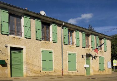
Départ/retour auberge de la Colline (fermée) Vaudémont
Temps gris et frais mais calme
13 820m 313m réels avec les innombrables erreurs dés le départ. Balisage parfois aléatoire voire absent.
Positioning
Country:
France
Region :
Grand Est
Department/Province :
Meurthe-et-Moselle
Municipality :
Vaudémont
Location:
Unknown
Start:(Dec)
Start:(UTM)
282227 ; 5366714 (32U) N.
Comments
Trails nearby

Sentier de la Vieille Chopine


On foot
Easy
Vandeléville,
Grand Est,
Meurthe-et-Moselle,
France

14.8 km | 19.1 km-effort
4h 19min
Yes

Circuit Barrès - Brunehaut


On foot
Easy
Vaudémont,
Grand Est,
Meurthe-et-Moselle,
France

8.4 km | 10.7 km-effort
2h 26min
Yes

Sion


Walking
Very easy
(1)
Saxon-Sion,
Grand Est,
Meurthe-et-Moselle,
France

12.5 km | 16.2 km-effort
4h 40min
Yes

PRAYE - LA COLLINE DE SION-VAUDEMONT


Walking
Easy
(1)
Praye,
Grand Est,
Meurthe-et-Moselle,
France

16.6 km | 22 km-effort
8h 52min
Yes

Vaudemont


sport
Very easy
Vaudémont,
Grand Est,
Meurthe-et-Moselle,
France

5 km | 6.4 km-effort
Unknown
Yes

sion


Walking
Medium
Saxon-Sion,
Grand Est,
Meurthe-et-Moselle,
France

12.2 km | 16 km-effort
4h 36min
Yes

tour de Sion 54


Walking
Medium
Praye,
Grand Est,
Meurthe-et-Moselle,
France

18.3 km | 25 km-effort
5h 8min
Yes

2012-01-15 18h02m24


Walking
Easy
Vaudémont,
Grand Est,
Meurthe-et-Moselle,
France

4 km | 4.8 km-effort
1h 4min
Yes

Randoguide


Walking
Medium
Vaudémont,
Grand Est,
Meurthe-et-Moselle,
France

9.9 km | 12.9 km-effort
2h 45min
Yes


 SityTrail


