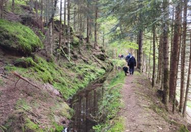
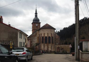
21 km | 30 km-effort
Col du Donon
Lepeve51
User
Length
12.7 km
Max alt
767 m
Uphill gradient
543 m
Km-Effort
18.8 km
Min alt
343 m
Downhill gradient
182 m
Boucle
No
Creation date :
2024-01-04 08:37:31.534
Updated on :
2024-01-04 12:04:29.282
3h26
Difficulty : Difficult
FREE GPS app for hiking
About
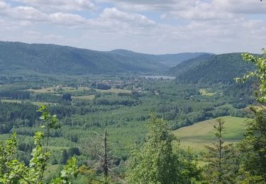
Trail Walking of 12.7 km to be discovered at Grand Est, Meurthe-et-Moselle, Bionville. This trail is proposed by Lepeve51.
Positioning
Country:
France
Region :
Grand Est
Department/Province :
Meurthe-et-Moselle
Municipality :
Bionville
Location:
Unknown
Start:(Dec)
Start:(UTM)
352733 ; 5372170 (32U) N.
Comments
Trails nearby
sortie vtt du 24102019 celles sur plaine
Mountain bike
Difficult
Celles-sur-Plaine,
Grand Est,
Vosges,
France
2h 27min
Yes
2019-06-08 Marche Allarmont et ses rochers
Walking
Very easy
Allarmont,
Grand Est,
Vosges,
France
10.7 km | 16.5 km-effort
2h 55min
Yes
ar parcours attelage sortie celles sur plaine 6.11.22
Coupling
Very easy
(1)
Celles-sur-Plaine,
Grand Est,
Vosges,
France
13.4 km | 16.6 km-effort
Unknown
Yes
Vexaincourt - lac et chapelle de la Maix
Walking
Medium
Vexaincourt,
Grand Est,
Vosges,
France
16.3 km | 24 km-effort
3h 50min
Yes
Tête du coquin
Walking
Very difficult
Celles-sur-Plaine,
Grand Est,
Vosges,
France
11.6 km | 19 km-effort
2h 15min
Yes
tête du coquin
Walking
Difficult
Celles-sur-Plaine,
Grand Est,
Vosges,
France
10.6 km | 17.6 km-effort
2h 35min
Yes
scierie Machet
Walking
Medium
Saint-Sauveur,
Grand Est,
Meurthe-et-Moselle,
France
18.3 km | 25 km-effort
20h 36min
Yes
Sentier des Sources
On foot
Easy
Celles-sur-Plaine,
Grand Est,
Vosges,
France
4.5 km | 6.1 km-effort
1h 22min
No
fady col de praye
Horseback riding
Difficult
Moussey,
Grand Est,
Vosges,
France
30 km | 41 km-effort
4h 58min
Yes