


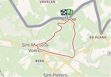

8.8 km | 11 km-effort

User GUIDE


FREE GPS app for hiking
 SityTrail
IGN / Geographical institutes
SityTrail World
The world is yours!
Trail Walking of 5.8 km to be discovered at Flanders, Limburg, Voeren. This trail is proposed by mumu.larandonneuse.
Balade dans les paysages bocagers des Fourons vers Fouron-Saint-Martin pour y découvrir la splendide crèche dans le chœur de l'église Sint-Martinus.
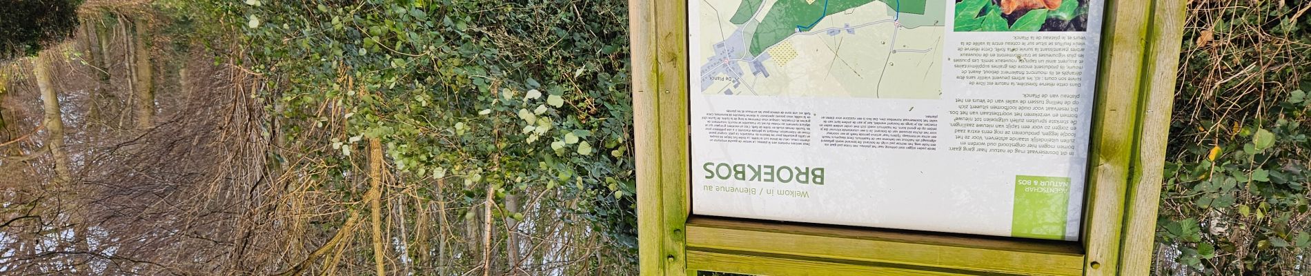
📍't Bakhuis


Walking

Walking

Walking

Walking

Walking

Walking

Walking

Walking

Walking