


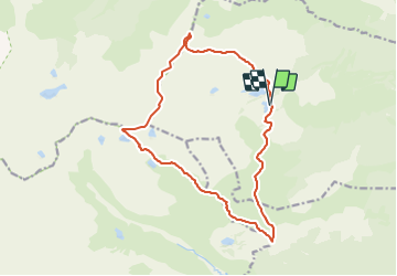

15.1 km | 24 km-effort


User


FREE GPS app for hiking
 SityTrail
IGN / Geographical institutes
SityTrail World
The world is yours!
Trail Walking of 16.7 km to be discovered at Occitania, Pyrénées-Orientales, Formiguères. This trail is proposed by 34christophe.
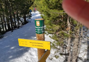
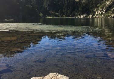
refuge,pic de Mortiers, puig homme mort, puig Portella Gran, col Portella Gran, Coma de la Llosa, cabane La Balmette, refuge
rando programmée, mais non encore réalisée ; j'ignore s'il y a un véritable sentier entre les km 3,5 et 7, et quelle en est la difficulté

Walking


sport
Walking

Walking

Snowshoes
Walking
Walking
Snowshoes
Walking