


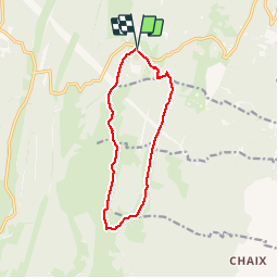

7.6 km | 9.6 km-effort


User


FREE GPS app for hiking
 SityTrail
IGN / Geographical institutes
SityTrail World
The world is yours!
Trail Winter sports of 11.6 km to be discovered at Auvergne-Rhône-Alpes, Ain, Valserhône. This trail is proposed by tonymeyer.
Monter en voiture jusqu'au parking du Raimont à 1165m.Suivre la piste de fond jusqu'au centre du fond à Cuvéry pour payer la taxe.
Partir sur la piste bleu pour suivre la N12 (Balcon du Mont Blanc).
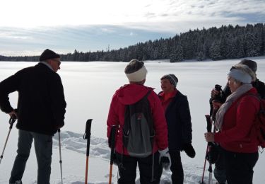
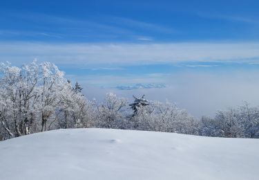
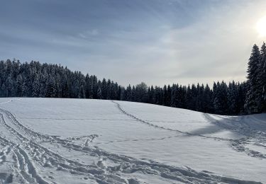
Magnifique vue sur les Alpes (Mont Blanc, Dents du Midi etc.) depuis la piste de retour à partir du Charnay.
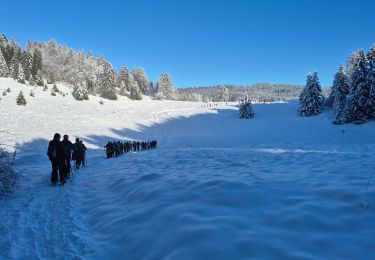
Snowshoes
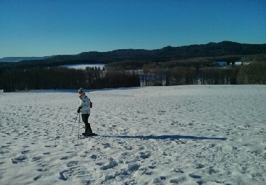
Snowshoes

Walking
Walking
Snowshoes
Snowshoes
Snowshoes
Walking
Walking