


17.8 km | 22 km-effort

User GUIDE


FREE GPS app for hiking
 SityTrail
IGN / Geographical institutes
SityTrail World
The world is yours!
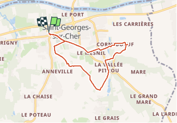
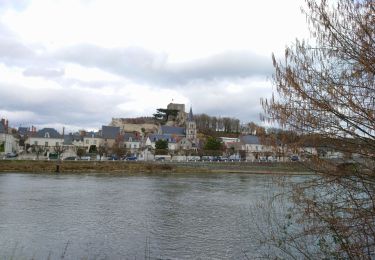
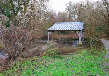
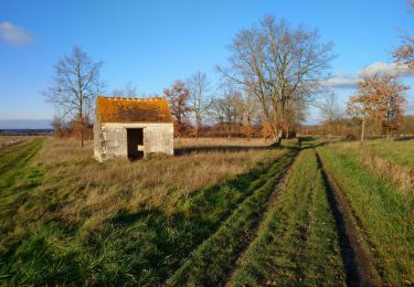
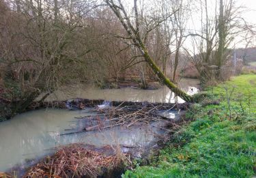
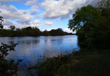
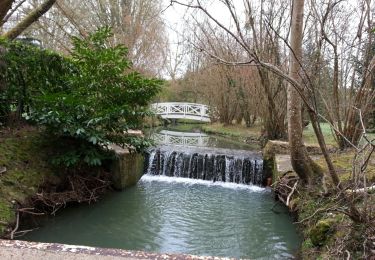
Trail Walking of 6.9 km to be discovered at Centre-Loire Valley, Loir-et-Cher, Saint-Georges-sur-Cher. This trail is proposed by Orcal37.
Saint-Georges-sur-Cher - la Vallée Pitrou - Moulins du Porteau et du Mesnil - 6.9km 65m 1h35 - 2023 12 27


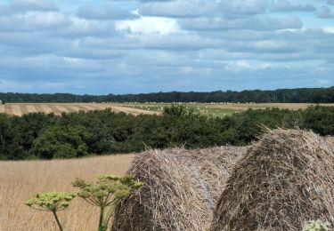
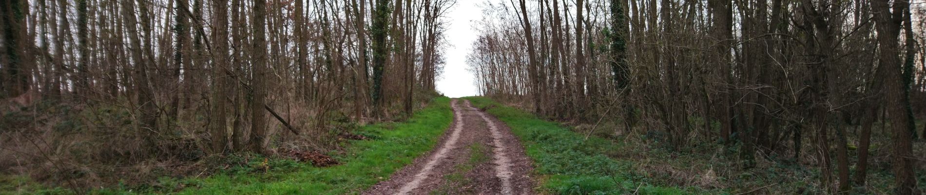
Walking
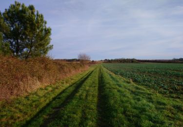
Walking
Walking

Walking
Walking
Walking
Walking
Walking
Walking