


jerico

patcaillou
User
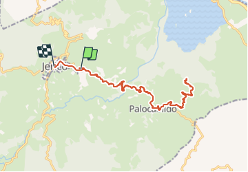

Length
31 km

Max alt
2041 m

Uphill gradient
1080 m
Km-Effort
45 km

Min alt
1647 m

Downhill gradient
1030 m
Boucle
No
Creation date :
2023-12-12 14:19:52.192
Updated on :
2023-12-24 15:09:43.724
9h06
Difficulty : Very difficult

FREE GPS app for hiking
 SityTrail
IGN / Geographical institutes
SityTrail World
The world is yours!
About
Trail Walking of 31 km to be discovered at Antioquia, Jericó. This trail is proposed by patcaillou.
Positioning
Country:
Colombia
Region :
Antioquia
Department/Province :
Jericó
Municipality :
Unknown
Location:
Unknown
Start:(Dec)
Start:(UTM)
414405 ; 640043 (18N) N.
Comments
Trails nearby