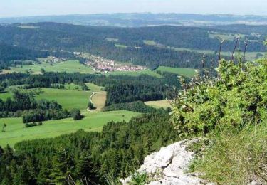
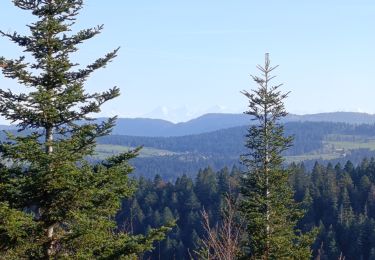
13.3 km | 19 km-effort
GR 5 Jura étape 7 Le cluse et Mijoux
jpcagniard
User
Length
24 km
Max alt
1211 m
Uphill gradient
692 m
Km-Effort
34 km
Min alt
858 m
Downhill gradient
882 m
Boucle
No
Creation date :
2023-12-18 21:34:45.264
Updated on :
2023-12-18 21:36:33.297
7h41
Difficulty : Very difficult
FREE GPS app for hiking
About
Trail Walking of 24 km to be discovered at Bourgogne-Franche-Comté, Doubs, Les Gras. This trail is proposed by jpcagniard.
Positioning
Country:
France
Region :
Bourgogne-Franche-Comté
Department/Province :
Doubs
Municipality :
Les Gras
Location:
Unknown
Start:(Dec)
Start:(UTM)
312605 ; 5205503 (32T) N.
Comments
Trails nearby
les gras
Walking
Medium
Les Gras,
Bourgogne-Franche-Comté,
Doubs,
France
14 km | 21 km-effort
5h 3min
Yes
Le mont Châteleu
Walking
Medium
Les Gras,
Bourgogne-Franche-Comté,
Doubs,
France
18.5 km | 29 km-effort
5h 30min
Yes
Le Mont Châteleu - Doubs
Walking
Difficult
(1)
Les Gras,
Bourgogne-Franche-Comté,
Doubs,
France
12.8 km | 20 km-effort
4h 0min
Yes
Le Mont Chateleu
Walking
Difficult
(1)
Les Gras,
Bourgogne-Franche-Comté,
Doubs,
France
14.4 km | 22 km-effort
4h 30min
Yes
Espace VTT FFC Val de Morteau - Circuit n° 13 - Les Gras
Mountain bike
Difficult
Les Gras,
Bourgogne-Franche-Comté,
Doubs,
France
16.2 km | 24 km-effort
2h 30min
Yes
y10_lac_tailleres
Other activity
Very easy
La Brévine,
Neuchâtel,
Unknown,
Switzerland
5.1 km | 6.2 km-effort
1h 24min
Yes
Mont Chateleu
Walking
Easy
Grand'Combe-Châteleu,
Bourgogne-Franche-Comté,
Doubs,
France
3.4 km | 4.7 km-effort
2h 25min
Yes
Le mont Châteleu par les crêtes de l’Armont
Walking
Very difficult
Montlebon,
Bourgogne-Franche-Comté,
Doubs,
France
16.7 km | 26 km-effort
5h 52min
Yes