

Oerboerroute 44 km

verpoorten
User

Length
44 km

Max alt
110 m

Uphill gradient
345 m

Km-Effort
48 km

Min alt
39 m

Downhill gradient
340 m
Boucle
Yes
Creation date :
2023-12-16 10:24:15.101
Updated on :
2023-12-17 14:28:35.03
3h00
Difficulty : Very easy

FREE GPS app for hiking
About
Trail Cycle of 44 km to be discovered at Limburg, Unknown, Maastricht. This trail is proposed by verpoorten.
Description
Attention, le Bac au point-noeud 52 est fermé en hiver. Continuer alors le long de la Meuse pour ensuite traverser sur la piste cyclable du pont de la E314 (point-noeud 43). Après le pont prenez à droite pour longer le canal pour revenir vers l'itinéraire.
Positioning
Country:
Netherlands
Region :
Limburg
Department/Province :
Unknown
Municipality :
Maastricht
Location:
Unknown
Start:(Dec)
Start:(UTM)
692063 ; 5639470 (31U) N.
Comments
Trails nearby
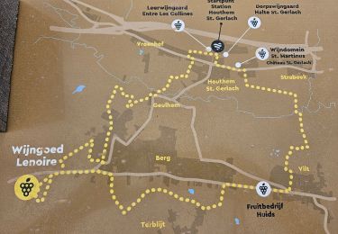
2023-08-29_11h45m24_route-des-vins-berg-en-terblijt--houthem-st-gerlach-vi6


Walking
Easy
(1)
Valkenburg aan de Geul,
Limburg,
Unknown,
Netherlands

11.8 km | 14 km-effort
3h 11min
Yes

2023-07-28_14h10m13_1693.gpx.xml


Walking
Easy
(1)
Maastricht,
Limburg,
Unknown,
Netherlands

10.7 km | 11.5 km-effort
2h 36min
Yes
Maastricht - Hoge Fronten & 't Bassin


Walking
Easy
(1)
Maastricht,
Limburg,
Unknown,
Netherlands

7.7 km | 8.5 km-effort
2h 3min
Yes

2022-06-10_16h16m23_1459


Walking
Easy
(1)
Maastricht,
Limburg,
Unknown,
Netherlands

6.9 km | 7.6 km-effort
1h 44min
Yes
2021-10-27_21h23m34_1087


Walking
Medium
(1)
Maastricht,
Limburg,
Unknown,
Netherlands

14.6 km | 18.2 km-effort
4h 8min
Yes
lanaken ter biessen


Horseback riding
Medium
(1)
Lanaken,
Flanders,
Limburg,
Belgium

18.9 km | 22 km-effort
2h 44min
Yes

Bemelen


Walking
Easy
Eijsden-Margraten,
Limburg,
Unknown,
Netherlands

14.1 km | 16.5 km-effort
2h 59min
Yes

Groeve Route Sint Pietersberg


On foot
Easy
Maastricht,
Limburg,
Unknown,
Netherlands

6.7 km | 8.6 km-effort
1h 57min
Yes
1.Fort Sint-Pieter: Blauwe Ruit


On foot
Easy
Maastricht,
Limburg,
Unknown,
Netherlands

6.1 km | 7.6 km-effort
1h 44min
Yes


 SityTrail


