


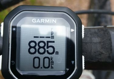
13 km | 19 km-effort


FREE GPS app for hiking
 SityTrail
IGN / Geographical institutes
SityTrail World
The world is yours!
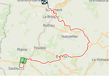
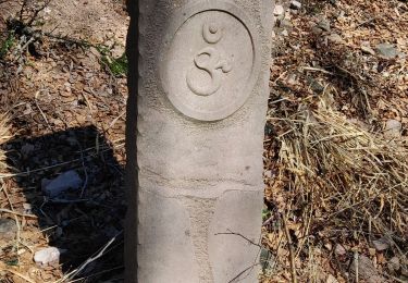
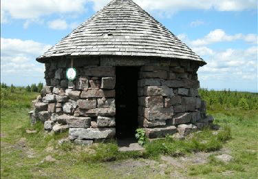
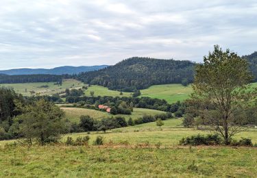
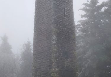
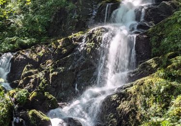
Trail of 31 km to be discovered at Grand Est, Bas-Rhin, Saulxures. This trail is proposed by 000381.36b6c464e933413bbb795d0978b7e198.1217.
Walking
Walking
Horseback riding

Walking
Walking
Mountain bike
Walking
Horseback riding
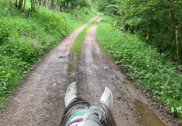
Horseback riding