74 km | 84 km-effort
Variante
ophness
User
Length
18.1 km
Max alt
227 m
Uphill gradient
152 m
Km-Effort
20 km
Min alt
169 m
Downhill gradient
141 m
Boucle
No
Creation date :
2023-12-15 11:54:51.0
Updated on :
2023-12-15 11:54:52.417
FREE GPS app for hiking
About
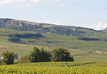
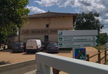
Trail of 18.1 km to be discovered at Auvergne-Rhône-Alpes, Ain, Cormoranche-sur-Saône. This trail is proposed by ophness.
Positioning
Country:
France
Region :
Auvergne-Rhône-Alpes
Department/Province :
Ain
Municipality :
Cormoranche-sur-Saône
Location:
Unknown
Start:(Dec)
Start:(UTM)
640848 ; 5121936 (31T) N.
Comments
Trails nearby
01 voie verte et bleue macon
Road bike
Medium
Cormoranche-sur-Saône,
Auvergne-Rhône-Alpes,
Ain,
France
4h 45min
Yes
Vinzelles
Walking
Easy
(1)
Vinzelles,
Bourgogne-Franche-Comté,
Saône-et-Loire,
France
7.8 km | 10.1 km-effort
2h 6min
Yes
10
Walking
Medium
La Chapelle-de-Guinchay,
Bourgogne-Franche-Comté,
Saône-et-Loire,
France
9.8 km | 11.2 km-effort
2h 41min
Yes
massonay
Walking
Medium
La Chapelle-de-Guinchay,
Bourgogne-Franche-Comté,
Saône-et-Loire,
France
9 km | 9.7 km-effort
2h 19min
Yes
creches
Walking
Difficult
La Chapelle-de-Guinchay,
Bourgogne-Franche-Comté,
Saône-et-Loire,
France
11.3 km | 12.2 km-effort
2h 53min
Yes
Loché roche de Vergisson Roche de Solutré mont de Pouilly
Walking
Medium
Mâcon,
Bourgogne-Franche-Comté,
Saône-et-Loire,
France
28 km | 39 km-effort
7h 1min
Yes
8
Walking
Medium
La Chapelle-de-Guinchay,
Bourgogne-Franche-Comté,
Saône-et-Loire,
France
7.6 km | 8.9 km-effort
1h 58min
Yes
Vinzelles Chaintré Loché châteaux
Walking
Medium
Vinzelles,
Bourgogne-Franche-Comté,
Saône-et-Loire,
France
8 km | 10.3 km-effort
1h 47min
Yes
Ain et voie bleue
Mountain bike
Medium
Pont-de-Veyle,
Auvergne-Rhône-Alpes,
Ain,
France
24 km | 26 km-effort
1h 43min
Yes