


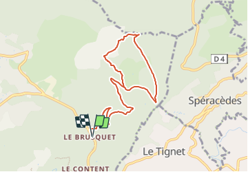

7.3 km | 10.3 km-effort


User


FREE GPS app for hiking
 SityTrail
IGN / Geographical institutes
SityTrail World
The world is yours!
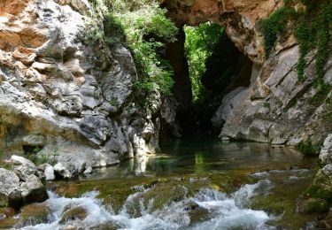
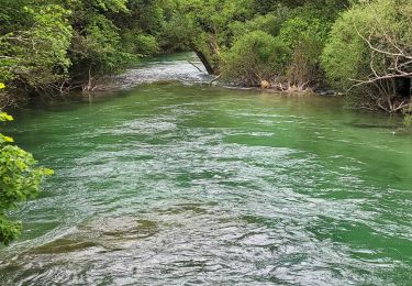
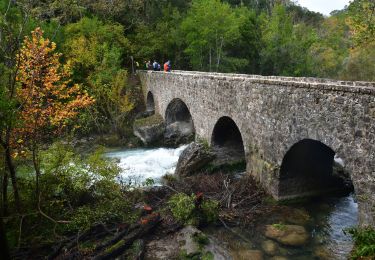
Trail Walking of 10.3 km to be discovered at Provence-Alpes-Côte d'Azur, Maritime Alps, Saint-Cézaire-sur-Siagne. This trail is proposed by jwo47.
Une randonnée des plus facile sur chemins forestiers larges et presque sans les pierres habituelles. compter 3 et1/2à 4 heures suivant vos randonneurs.
On foot
Walking

On foot

Walking
Walking
Walking
Walking
Walking
Walking