9.5 km | 10.8 km-effort
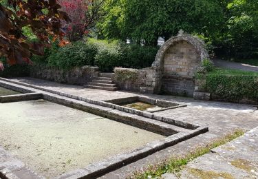
PR_56_Pluvignier_BA_02_Circuit3a_Le-Bourg-Et-Ses-Lavoirs_20231211
patrickdanilo
User
Length
6.8 km
Max alt
90 m
Uphill gradient
62 m
Km-Effort
7.7 km
Min alt
67 m
Downhill gradient
65 m
Boucle
Yes
Creation date :
2023-12-11 09:07:05.963
Updated on :
2023-12-11 16:21:20.367
1h44
Difficulty : Very easy
FREE GPS app for hiking
About
Trail Walking of 6.8 km to be discovered at Brittany, Morbihan, Pluvigner. This trail is proposed by patrickdanilo.
Description
Randonnée Marche de 7,9 km à découvrir à Bretagne, Morbihan, Pluvigner. Cette randonnée est proposée par patrickdanilo.
Positioning
Country:
France
Region :
Brittany
Department/Province :
Morbihan
Municipality :
Pluvigner
Location:
Unknown
Start:(Dec)
Start:(UTM)
499795 ; 5291656 (30T) N.
Comments
Trails nearby
PR_56_Pluvignier_AA_01_Circuit1b_St-Tremeur_20200512
Walking
Very easy
(1)
Pluvigner,
Brittany,
Morbihan,
France
2h 7min
Yes
Boucle dans la forêt de Florange à partir de Bieuzy Lanvaux
Electric bike
Medium
(1)
Pluvigner,
Brittany,
Morbihan,
France
18.3 km | 23 km-effort
1h 38min
Yes
pluvigner 0923
Walking
Medium
Pluvigner,
Brittany,
Morbihan,
France
8.9 km | 10.1 km-effort
2h 41min
Yes
Calandre 1082019
Walking
Very easy
Brech,
Brittany,
Morbihan,
France
8.2 km | 9.4 km-effort
2h 22min
Yes
pluvigner 0717
Walking
Easy
Pluvigner,
Brittany,
Morbihan,
France
11.1 km | 12.5 km-effort
2h 37min
Yes
pluvigner
Walking
Very easy
Pluvigner,
Brittany,
Morbihan,
France
10.3 km | 11.5 km-effort
2h 33min
Yes
Forêt de Camors
Walking
Easy
Camors,
Brittany,
Morbihan,
France
15.4 km | 18.2 km-effort
3h 58min
Yes