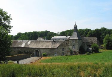
22 km | 28 km-effort
nandrin reco
René Chapelle
User
Length
9.7 km
Max alt
280 m
Uphill gradient
214 m
Km-Effort
12.6 km
Min alt
216 m
Downhill gradient
220 m
Boucle
Yes
Creation date :
2023-12-07 07:57:27.328
Updated on :
2023-12-07 10:27:29.224
2h29
Difficulty : Difficult
FREE GPS app for hiking
About
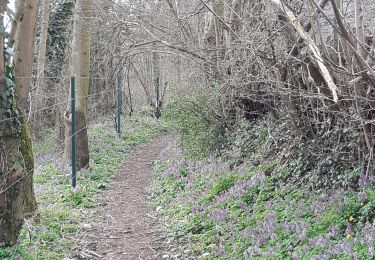
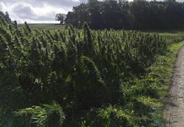
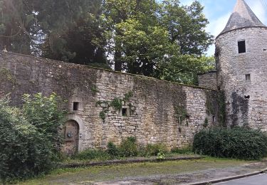
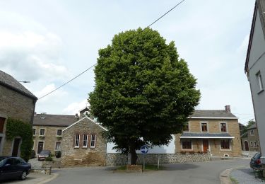
Trail Walking of 9.7 km to be discovered at Wallonia, Liège, Nandrin. This trail is proposed by René Chapelle.
Description
balade
Positioning
Country:
Belgium
Region :
Wallonia
Department/Province :
Liège
Municipality :
Nandrin
Location:
Unknown
Start:(Dec)
Start:(UTM)
672787 ; 5596849 (31U) N.
Comments
Trails nearby
Neupré - liaisons inter-hameaux et -villages
Walking
Medium
(13)
Neupré,
Wallonia,
Liège,
Belgium
10.8 km | 14.1 km-effort
2h 59min
Yes
Neupré - balade de Rotheux
Walking
Medium
(11)
Neupré,
Wallonia,
Liège,
Belgium
8.7 km | 11.1 km-effort
2h 21min
Yes
Hody . drive d Anthisnes . carrière . Targnon . Hestreux . Fond de Sart . Hody
Walking
Easy
(1)
Anthisnes,
Wallonia,
Liège,
Belgium
11.5 km | 14.2 km-effort
3h 6min
Yes
Villers le temple . st jean sart . clemaude
Walking
Very easy
(1)
Nandrin,
Wallonia,
Liège,
Belgium
7.9 km | 10.4 km-effort
2h 12min
Yes
première rando anthisne tavier
Mountain bike
Medium
(1)
Anthisnes,
Wallonia,
Liège,
Belgium
10.2 km | 13.4 km-effort
1h 8min
Yes
promenade de la rochette : villers le temple - grand fond d'oxhe - villers le...
Walking
Medium
(1)
Nandrin,
Wallonia,
Liège,
Belgium
10 km | 13.3 km-effort
2h 47min
Yes
AS06 Boucle des Sarts
On foot
Easy
Anthisnes,
Wallonia,
Liège,
Belgium
10.9 km | 13.6 km-effort
3h 4min
Yes
AS01 Boucle du Chantoir
On foot
Easy
(1)
Anthisnes,
Wallonia,
Liège,
Belgium
6.3 km | 8.5 km-effort
1h 55min
Yes