16.9 km | 25 km-effort
231203_Rivières
fario
User
Length
15.4 km
Max alt
283 m
Uphill gradient
268 m
Km-Effort
18.9 km
Min alt
112 m
Downhill gradient
269 m
Boucle
Yes
Creation date :
2023-12-03 08:54:42.895
Updated on :
2024-01-09 15:34:20.544
5h43
Difficulty : Difficult
FREE GPS app for hiking
About
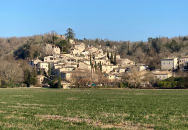
Trail Walking of 15.4 km to be discovered at Occitania, Gard, Rivières. This trail is proposed by fario.
Description
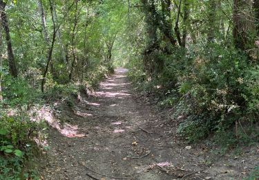
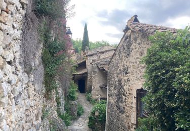
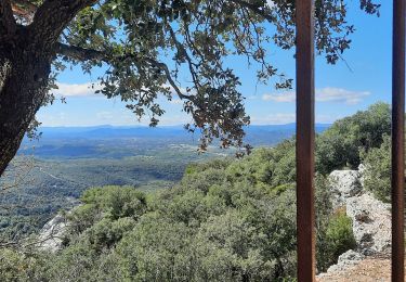
Belle rando par des chemins variés
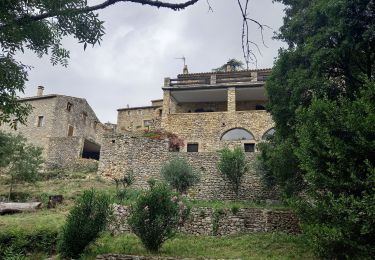
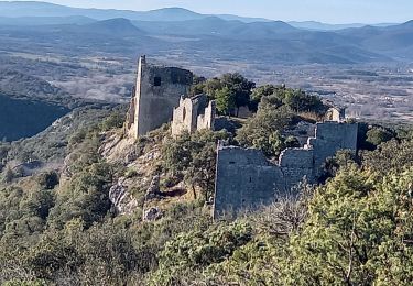
Détour par le château d'allègre.
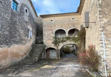
Visite des plusieurs crèches dans l'église de Rivières
Positioning
Country:
France
Region :
Occitania
Department/Province :
Gard
Municipality :
Rivières
Location:
Unknown
Start:(Dec)
Start:(UTM)
601674 ; 4897465 (31T) N.
Comments
Trails nearby
château d allègre aiguieres
Walking
Medium
(1)
Allègre-les-Fumades,
Occitania,
Gard,
France
6h 10min
Yes
ROCHEGUDE - GROTTE DES CAMISARDS
Walking
Medium
Rochegude,
Occitania,
Gard,
France
5 km | 7.6 km-effort
1h 43min
Yes
Rochegude 30
Walking
Difficult
Rochegude,
Occitania,
Gard,
France
15.6 km | 21 km-effort
5h 42min
Yes
Argensol, chapelle St Saturnin, Château d'Alègre
Walking
Difficult
Allègre-les-Fumades,
Occitania,
Gard,
France
8.7 km | 12.1 km-effort
2h 44min
Yes
Chateau d'Allegre par les crêtes et défilé d'Argensol
Walking
Medium
Allègre-les-Fumades,
Occitania,
Gard,
France
9.5 km | 13 km-effort
3h 42min
Yes
Serre de Fons
Walking
Medium
Fons-sur-Lussan,
Occitania,
Gard,
France
4.7 km | 6.7 km-effort
1h 39min
No
Château et côte d'Allègre via Chapelle St Saturnin
Walking
Medium
Allègre-les-Fumades,
Occitania,
Gard,
France
7.4 km | 10.8 km-effort
2h 32min
Yes