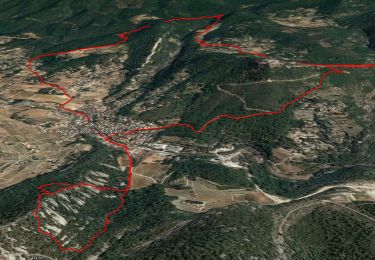
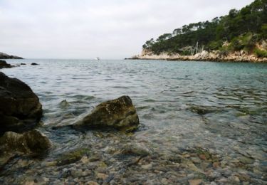
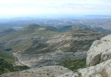
8.7 km | 11.4 km-effort
Sanary 2
ghione
User
Length
14.3 km
Max alt
428 m
Uphill gradient
621 m
Km-Effort
23 km
Min alt
37 m
Downhill gradient
621 m
Boucle
Yes
Creation date :
2015-02-20 00:00:00.0
Updated on :
2015-02-20 00:00:00.0
6h00
Difficulty : Difficult
FREE GPS app for hiking
About
Trail Walking of 14.3 km to be discovered at Provence-Alpes-Côte d'Azur, Var, La Cadière-d'Azur. This trail is proposed by ghione.
Description
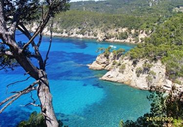
rando sur crete tres belles vues surmer et sur l intrerieur des terres,sentier des cretes a ne pas faire par temps humide
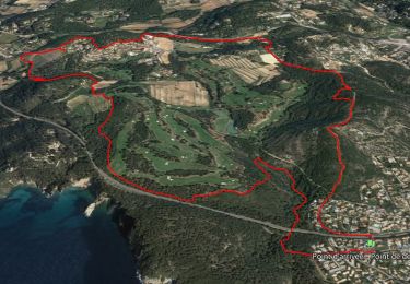
Positioning
Country:
France
Region :
Provence-Alpes-Côte d'Azur
Department/Province :
Var
Municipality :
La Cadière-d'Azur
Location:
Unknown
Start:(Dec)
Start:(UTM)
725190 ; 4783288 (31T) N.
Comments
Trails nearby
SityTrail - st anne d'evenos.
Walking
Difficult
(1)
Évenos,
Provence-Alpes-Côte d'Azur,
Var,
France
13 km | 18.7 km-effort
4h 15min
Yes
SityTrail - Tour du golf de la Fregate (version longue )
Walking
Very difficult
(1)
Bandol,
Provence-Alpes-Côte d'Azur,
Var,
France
13.5 km | 19 km-effort
4h 19min
Yes
Sainte Anne d'Evenos Le Gros Cerveau
Walking
Difficult
(3)
Évenos,
Provence-Alpes-Côte d'Azur,
Var,
France
7 km | 11.8 km-effort
3h 30min
Yes
Port d'Alon - Bandol - Port d'Alon
Walking
Medium
(1)
Saint-Cyr-sur-Mer,
Provence-Alpes-Côte d'Azur,
Var,
France
7.7 km | 9.9 km-effort
2h 0min
Yes
Le Port d'Alon
Walking
Medium
(2)
Saint-Cyr-sur-Mer,
Provence-Alpes-Côte d'Azur,
Var,
France
9.4 km | 12.8 km-effort
3h 0min
Yes
Rando Bandol - Port d'Alon - Bandol
Walking
Difficult
(1)
Bandol,
Provence-Alpes-Côte d'Azur,
Var,
France
7.2 km | 9.4 km-effort
2h 30min
Yes
83 grès ste anne
Walking
Medium
Évenos,
Provence-Alpes-Côte d'Azur,
Var,
France
3.4 km | 6.1 km-effort
2h 23min
Yes
SityTrail - Boucle Bandol - Port d'Alon - Dune de sable - La Madrague - Port ...
Walking
Medium
(2)
Bandol,
Provence-Alpes-Côte d'Azur,
Var,
France
14.1 km | 19.7 km-effort
6h 0min
Yes