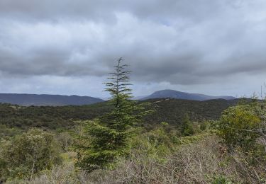
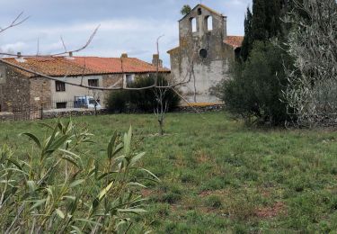
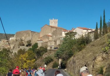
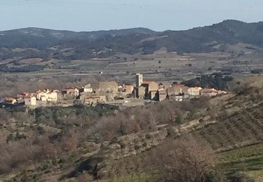
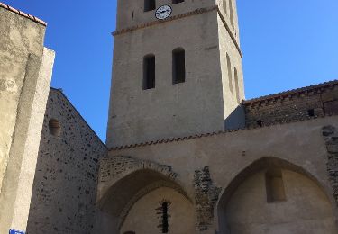
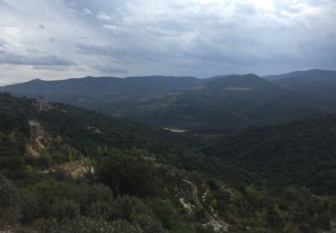
12.6 km | 17 km-effort
maury
Jocelyne LIGER
User
Length
15.2 km
Max alt
350 m
Uphill gradient
420 m
Km-Effort
21 km
Min alt
138 m
Downhill gradient
431 m
Boucle
No
Creation date :
2023-11-29 08:38:17.35
Updated on :
2023-11-29 14:27:53.491
4h13
Difficulty : Very difficult
FREE GPS app for hiking
About
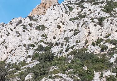
Trail Walking of 15.2 km to be discovered at Occitania, Pyrénées-Orientales, Maury. This trail is proposed by Jocelyne LIGER.
Positioning
Country:
France
Region :
Occitania
Department/Province :
Pyrénées-Orientales
Municipality :
Maury
Location:
Unknown
Start:(Dec)
Start:(UTM)
467021 ; 4739808 (31T) N.
Comments
Trails nearby
Le dernier bastion cathare
Walking
Difficult
(1)
Maury,
Occitania,
Pyrénées-Orientales,
France
3h 56min
Yes
Latour de France 08/12/2021
Walking
Medium
Latour-de-France,
Occitania,
Pyrénées-Orientales,
France
12.4 km | 16.2 km-effort
3h 12min
Yes
66 LATOUR-DE-FRANCE, visite du village, massif de Tourèze et vallée de l'Agly
Walking
Medium
Latour-de-France,
Occitania,
Pyrénées-Orientales,
France
8.3 km | 11 km-effort
1h 47min
Yes
PLANÈZES (10/10/2017)
Walking
Easy
Planèzes,
Occitania,
Pyrénées-Orientales,
France
9.9 km | 13.6 km-effort
3h 0min
Yes
Cucugnan Quéribus
Walking
Medium
(2)
Cucugnan,
Occitania,
Aude,
France
9.3 km | 15.1 km-effort
3h 14min
Yes
au départ de la Tour de France
Walking
Easy
Latour-de-France,
Occitania,
Pyrénées-Orientales,
France
19.9 km | 27 km-effort
4h 57min
Yes
66 LATOUR-DE-FRANCE, visite du village, massif de Tourèze et vallée de l'Agly
Walking
Medium
(1)
Latour-de-France,
Occitania,
Pyrénées-Orientales,
France
8.3 km | 11 km-effort
1h 47min
Yes
66 LANSAC - boucle, tour et Roc de LANSAC
Walking
Medium
Lansac,
Occitania,
Pyrénées-Orientales,
France
6.7 km | 9.5 km-effort
1h 29min
Yes
66 RASIGUERES - autour et tour de Tremoine - PLANÈZES
Walking
Difficult
Rasiguères,
Occitania,
Pyrénées-Orientales,
France
12.8 km | 18.4 km-effort
2h 23min
Yes