14.7 km | 16.4 km-effort
thoury
Gablier
User
Length
13.1 km
Max alt
139 m
Uphill gradient
174 m
Km-Effort
15.4 km
Min alt
97 m
Downhill gradient
179 m
Boucle
Yes
Creation date :
2023-11-28 08:02:04.957
Updated on :
2023-11-28 11:31:18.146
3h14
Difficulty : Very easy
FREE GPS app for hiking
About
Trail Walking of 13.1 km to be discovered at Centre-Loire Valley, Loir-et-Cher, Thoury. This trail is proposed by Gablier .
Description
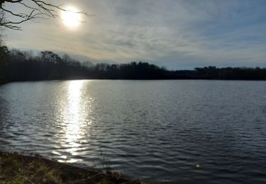
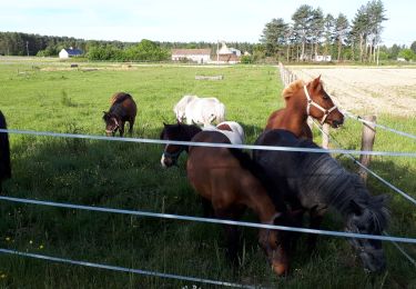
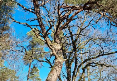
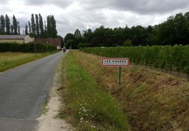
belle randonnée en forêt
Positioning
Country:
France
Region :
Centre-Loire Valley
Department/Province :
Loir-et-Cher
Municipality :
Thoury
Location:
Unknown
Start:(Dec)
Start:(UTM)
395554 ; 5273623 (31T) N.
Comments
Trails nearby
Dhuizon la Galoche 23 02 2021 3
Walking
Very easy
(1)
Dhuizon,
Centre-Loire Valley,
Loir-et-Cher,
France
2h 52min
Yes
Thoury 2019
Walking
Very easy
(1)
Thoury,
Centre-Loire Valley,
Loir-et-Cher,
France
14.5 km | 16.2 km-effort
2h 42min
Yes
dhuyzon gs
Walking
Easy
Dhuizon,
Centre-Loire Valley,
Loir-et-Cher,
France
14.1 km | 15.9 km-effort
2h 56min
No
dhuizon GS petit 14 05 2024
On foot
Easy
Dhuizon,
Centre-Loire Valley,
Loir-et-Cher,
France
10.7 km | 12 km-effort
2h 44min
Yes
Neuvy Rando Robert
Walking
Easy
Neuvy,
Centre-Loire Valley,
Loir-et-Cher,
France
16.5 km | 19.2 km-effort
5h 1min
Yes
neuvy GS 0202024 petit
On foot
Easy
Neuvy,
Centre-Loire Valley,
Loir-et-Cher,
France
10.1 km | 11.5 km-effort
2h 37min
Yes
Duyson
Walking
Very easy
Dhuizon,
Centre-Loire Valley,
Loir-et-Cher,
France
15.7 km | 17.5 km-effort
2h 57min
Yes
Thoury 10-12-23
Walking
Difficult
Thoury,
Centre-Loire Valley,
Loir-et-Cher,
France
14.9 km | 16.7 km-effort
2h 48min
Yes
Thury -Cheverny
Road bike
Difficult
Thoury,
Centre-Loire Valley,
Loir-et-Cher,
France
29 km | 32 km-effort
2h 12min
No