


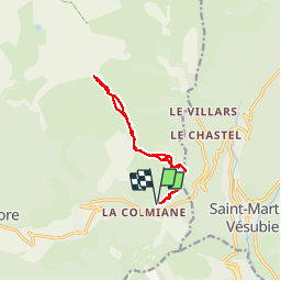

7.8 km | 16.3 km-effort


User


FREE GPS app for hiking
 SityTrail
IGN / Geographical institutes
SityTrail World
The world is yours!
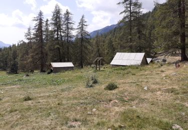
Trail Snowshoes of 12.1 km to be discovered at Provence-Alpes-Côte d'Azur, Maritime Alps, Valdeblore. This trail is proposed by fredopaca.
départ école de ski de la colmiane,vers la balise 90 Baus de la Frema,la téte du Brec,MONT Pétoumier.retour Idem.

Walking

Walking

On foot

On foot

Walking

Walking
Walking

Touring skiing
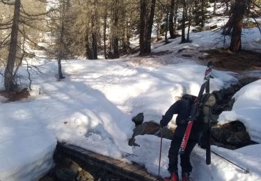
Touring skiing