


20 km | 28 km-effort


User


FREE GPS app for hiking
 SityTrail
IGN / Geographical institutes
SityTrail World
The world is yours!
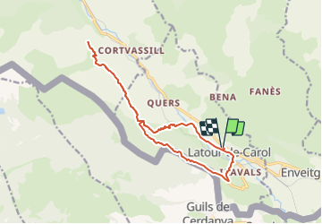
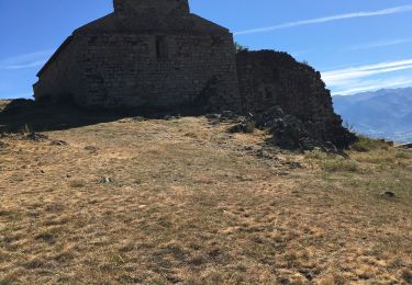
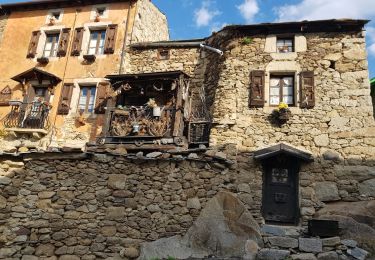
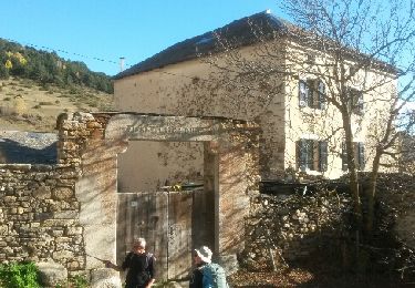
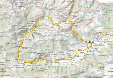
Trail Walking of 16.4 km to be discovered at Occitania, Pyrénées-Orientales, Latour-de-Carol. This trail is proposed by rene091957.
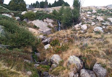
Latour de Carol au Parking de la DIR. Remonter le long du Carol jusqu'au pont en face de Riutès. Passer sous le pont de chemin de fer et suivre le PR en jaune à travers la forêt. Suivre la piste sur laquelle on arrive en suivant la direction du Prat Redon signalé sur plaque jaune portant le n° 8. Le chemin du Llavinet continue jusqu'au Rec de Llavinet à sec qui monte vers les cimes au milieu des pierres. A éviter l'hiver.

Walking
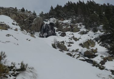
Snowshoes
Walking
Walking
Walking
Walking
Walking
Road bike