9.8 km | 12.1 km-effort
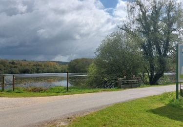
Etang de la Forêt
shadow
User
Length
6.6 km
Max alt
164 m
Uphill gradient
136 m
Km-Effort
8.4 km
Min alt
64 m
Downhill gradient
135 m
Boucle
Yes
Creation date :
2015-02-19 00:00:00.0
Updated on :
2015-02-19 00:00:00.0
1h49
Difficulty : Easy
FREE GPS app for hiking
About
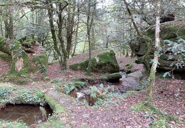
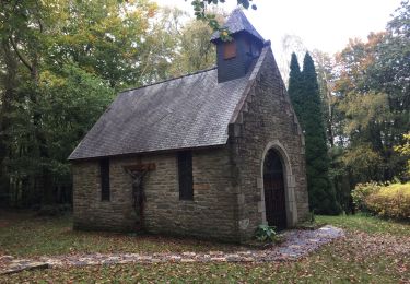
Trail Walking of 6.6 km to be discovered at Brittany, Morbihan, Brandivy. This trail is proposed by shadow.
Positioning
Country:
France
Region :
Brittany
Department/Province :
Morbihan
Municipality :
Brandivy
Location:
Unknown
Start:(Dec)
Start:(UTM)
506045 ; 5294329 (30T) N.
Comments
Trails nearby
PR_56_Brandivy_AA_01_Circuit1b_Etang-De-La-Foret_20240417
Walking
Easy
Brandivy,
Brittany,
Morbihan,
France
2h 0min
Yes
PR_56_Moustoir-Ac_AA_01_Circuit1b_Au-Fil-De-L-Eau_20231014
Walking
Easy
Moustoir-Ac,
Brittany,
Morbihan,
France
8.8 km | 10.6 km-effort
1h 51min
Yes
Ste Brigitte
Nordic walking
Easy
Grand-Champ,
Brittany,
Morbihan,
France
11.6 km | 13.7 km-effort
2h 56min
Yes
Boucle dans la forêt de Florange à partir de Bieuzy Lanvaux
Electric bike
Medium
(1)
Pluvigner,
Brittany,
Morbihan,
France
18.3 km | 23 km-effort
1h 38min
Yes
Forêt de Floranges
Walking
Very easy
(1)
Brandivy,
Brittany,
Morbihan,
France
6 km | 7.4 km-effort
1h 37min
Yes
Circuit de l'étang, Brandivy
On foot
Very easy
Brandivy,
Brittany,
Morbihan,
France
10 km | 12.6 km-effort
Unknown
Yes
CAMORS -alignements de Cornevec
Walking
Easy
Camors,
Brittany,
Morbihan,
France
9.9 km | 11.9 km-effort
2h 34min
Yes