


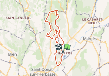

17.4 km | 24 km-effort


User


FREE GPS app for hiking
 SityTrail
IGN / Geographical institutes
SityTrail World
The world is yours!
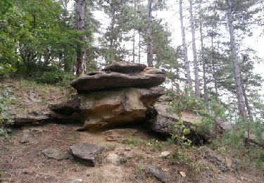
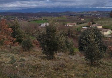
Trail Walking of 16.3 km to be discovered at Auvergne-Rhône-Alpes, Drôme, Saint-Donat-sur-l'Herbasse. This trail is proposed by hugo26.
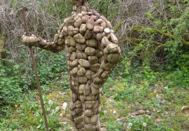
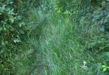
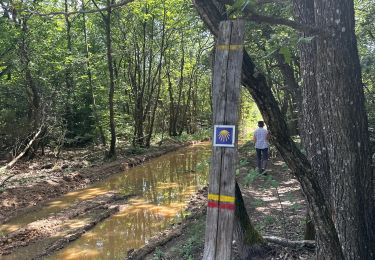
au départ du lac de champos à saint Donat rando en boucle qui passe à proximité du site Milles et une Cornes. Rando varié entre sentier chemin et route .
Walking
Walking
Walking

Walking

Walking
Walking
Walking
Walking
Walking