


Rando Marquises ile Fatu Hiva 17km

jeanmarcMasson
User GUIDE
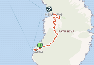

Length
17.2 km

Max alt
682 m

Uphill gradient
846 m
Km-Effort
29 km

Min alt
8 m

Downhill gradient
851 m
Boucle
No
Creation date :
2023-11-12 18:06:48.331
Updated on :
2023-11-13 02:26:22.909
4h21
Difficulty : Very difficult

FREE GPS app for hiking
 SityTrail
IGN / Geographical institutes
SityTrail World
The world is yours!
About
Trail Walking of 17.2 km to be discovered at Unknown, Unknown, Fatu Hiva. This trail is proposed by jeanmarcMasson.
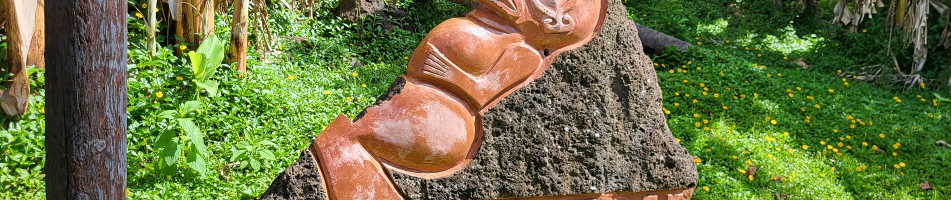
Photos

Positioning
Country:
France
Region :
Unknown
Department/Province :
Unknown
Municipality :
Fatu Hiva
Location:
Unknown
Start:(Dec)
Start:(UTM)
753302 ; 8837049 (7L) S.
Comments
Trails nearby