


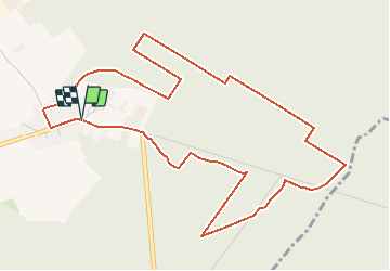


13.2 km | 13.9 km-effort


User


FREE GPS app for hiking
 SityTrail
IGN / Geographical institutes
SityTrail World
The world is yours!
Trail Walking of 5.7 km to be discovered at Hauts-de-France, Nord, Saint-Amand-les-Eaux. This trail is proposed by corsinou.
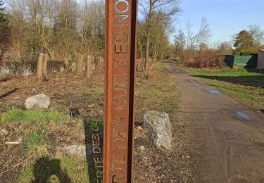
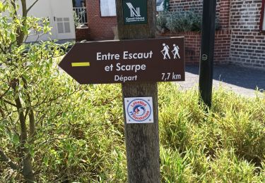
Départ à la " Chaine Thermale du Soleil " rue de la fontaine bouillon.
Face à la Chaine partir sur la gauche et emprunter après quelques mètres la route sur votre droite

Walking
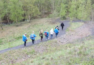
Walking

Walking
Walking

Walking

Walking
Walking

Walking

Walking