


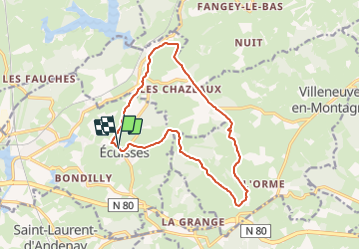

13.1 km | 17 km-effort


User


FREE GPS app for hiking
 SityTrail
IGN / Geographical institutes
SityTrail World
The world is yours!
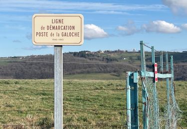
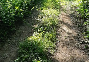
Trail Walking of 14 km to be discovered at Bourgogne-Franche-Comté, Saône-et-Loire, Écuisses. This trail is proposed by pensionisten71.
remplace la rando Ecuisses 2023 car le gps n'a pas fonctionné les 900 premiers mètres mais le tracé a été fait sur le terrain.
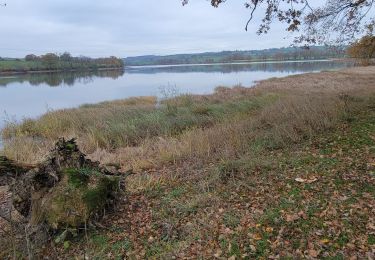
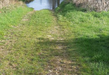
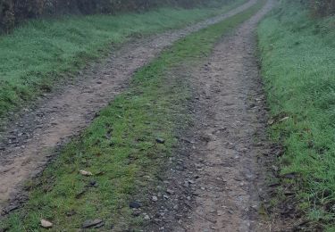
belle rando pas difficile.choisir un jour sans pluie.
le temps de marche ne devrait pas excéder 3h25
Walking
Walking
Walking

sport
Walking
Walking
Walking
Walking

On foot