


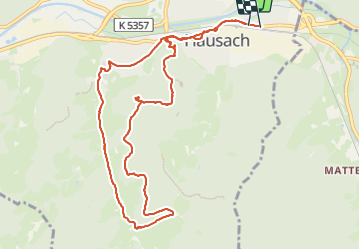


13 km | 22 km-effort

User


FREE GPS app for hiking
 SityTrail
IGN / Geographical institutes
SityTrail World
The world is yours!
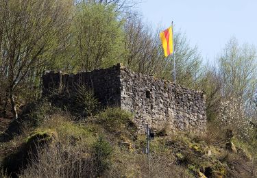
Trail Walking of 10.7 km to be discovered at Baden-Württemberg, Ortenaukreis, Hausach. This trail is proposed by Bart2015.
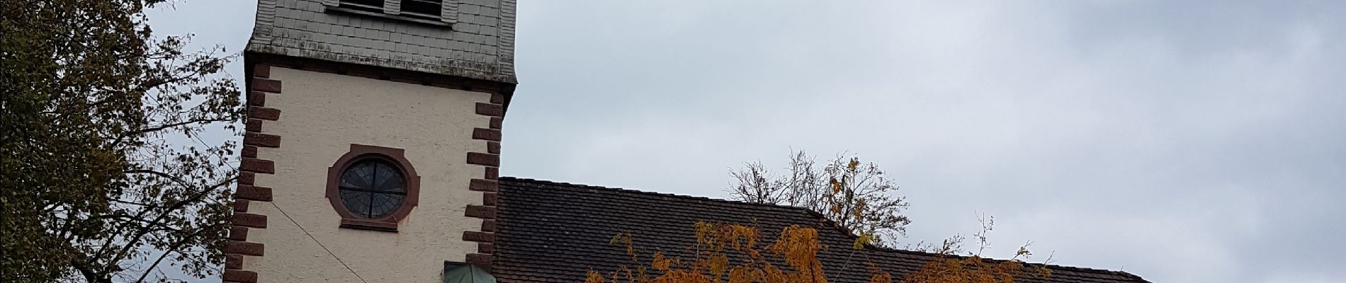
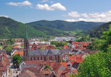
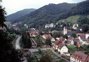
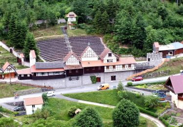
Petite randonnée qui nous conduit au château Husen au-dessus du village. Le sentier longe ensuite de multiples jeux qui raviront les enfants avant de retourner au village par de jolis paysages ...
Bonne rando ...


28 photos in total. Please click on a photo to see them all in the gallery.
On foot
On foot

On foot
On foot
On foot

On foot
On foot
On foot

Walking