


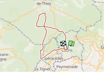

6 km | 10.6 km-effort


User


FREE GPS app for hiking
 SityTrail
IGN / Geographical institutes
SityTrail World
The world is yours!
Trail Walking of 14.7 km to be discovered at Provence-Alpes-Côte d'Azur, Maritime Alps, Cabris. This trail is proposed by GSananes.
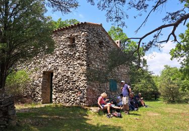
Reconnu avec Chantal le 8/11/23
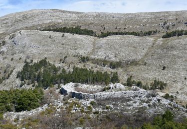
Rando facile sur piste. Paysages de campagne avec peu de vue sauf sur la partie SUD du parcours.

Walking
On foot
On foot

Mountain bike
Walking
Walking
Walking
Walking
Walking