33 km | 40 km-effort
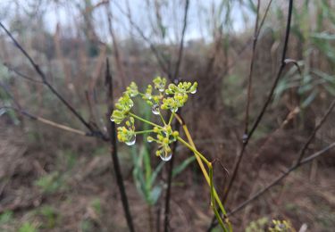
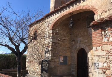
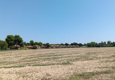
Elne. Le boul'vert occidental.
Denis Delay
User
Length
6 km
Max alt
36 m
Uphill gradient
50 m
Km-Effort
6.7 km
Min alt
11 m
Downhill gradient
50 m
Boucle
Yes
Creation date :
2023-11-08 14:02:13.855
Updated on :
2023-11-08 15:36:04.812
1h31
Difficulty : Medium
FREE GPS app for hiking
About
Trail Walking of 6 km to be discovered at Occitania, Pyrénées-Orientales, Elne. This trail is proposed by Denis Delay.
Positioning
Country:
France
Region :
Occitania
Department/Province :
Pyrénées-Orientales
Municipality :
Elne
Location:
Unknown
Start:(Dec)
Start:(UTM)
497613 ; 4716212 (31T) N.
Comments
Trails nearby
Villeneuve-de-la-Raho-Collioure (Septembre/Juin)
Quad
Medium
(1)
Montescot,
Occitania,
Pyrénées-Orientales,
France
1h 45min
No
66 THEZA - CORNEILLA-DEL-VERCOL
Walking
Easy
(2)
Théza,
Occitania,
Pyrénées-Orientales,
France
7 km | 7.5 km-effort
1h 8min
Yes
66 SAINT-ANDRE - SOREDE - chapelle Saint Ferreol de la Pava
Walking
Medium
(1)
Saint-André,
Occitania,
Pyrénées-Orientales,
France
14.2 km | 16.9 km-effort
2h 25min
Yes
SAINT-CYPRIEN 66 - front de mer - les CAPELLANS
Walking
Easy
(2)
Saint-Cyprien,
Occitania,
Pyrénées-Orientales,
France
9.9 km | 10.3 km-effort
2h 11min
Yes
bocal du Tech
Equestrian
Medium
(1)
Saint-Cyprien,
Occitania,
Pyrénées-Orientales,
France
17 km | 17.7 km-effort
3h 20min
Yes
66 SAINT-ANDRE à PALAU-DEL-VIDRE, canal de Palau, le fort, Villeclare, itinér...
Walking
Easy
(1)
Saint-André,
Occitania,
Pyrénées-Orientales,
France
5.7 km | 6.2 km-effort
1h 2min
Yes
mas larrieux automnal rive elne
Walking
Very easy
Argelès-sur-Mer,
Occitania,
Pyrénées-Orientales,
France
5.6 km | 5.8 km-effort
1h 38min
Yes
20240229 Ortoffa-Banuyls-des-Aspres-Brouillas
Walking
Medium
Ortaffa,
Occitania,
Pyrénées-Orientales,
France
19 km | 21 km-effort
4h 20min
Yes
st cyprien les monges. St cyprien plage . St cyprien port . capellans . retou...
Walking
Easy
Saint-Cyprien,
Occitania,
Pyrénées-Orientales,
France
10.7 km | 11.2 km-effort
2h 20min
Yes