


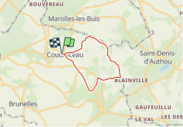

10.1 km | 11.6 km-effort

User


FREE GPS app for hiking
 SityTrail
IGN / Geographical institutes
SityTrail World
The world is yours!
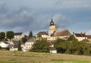
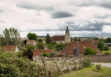
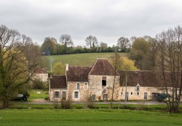
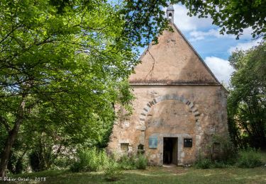
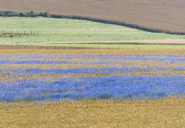
Trail Walking of 9.4 km to be discovered at Centre-Loire Valley, Eure-et-Loir, Arcisses. This trail is proposed by ODDAD78.
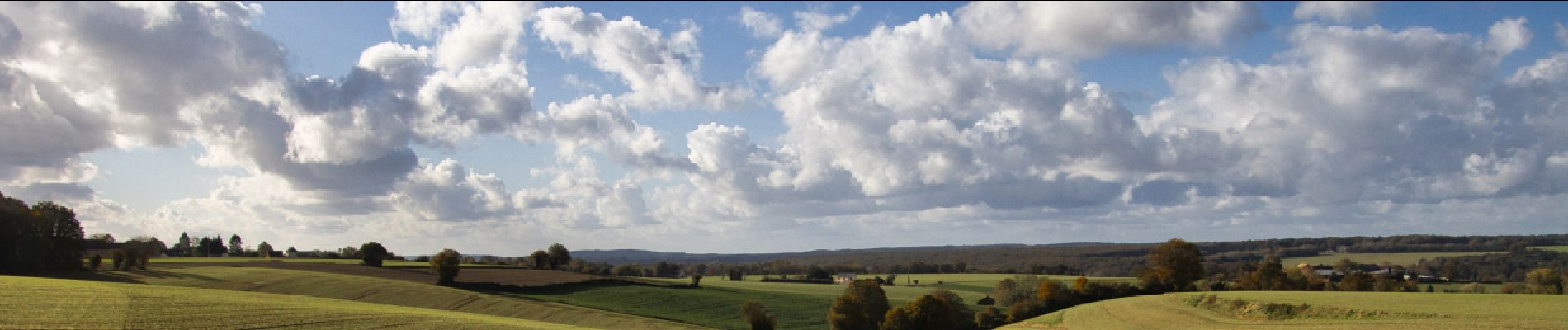
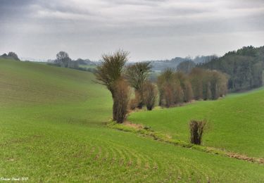
Une balade très vallonnée, propice à la découverte des panoramas du Perche eurélien, en particulier celui que l'on peut admirer à Bellevue.


Walking

Walking
Walking
Walking

Walking
Walking
Walking
Walking
Walking