Trail Walking Dembéni - Test - Photo
© OpenStreetMap contributors
Length
Length
63 m
Max alt
Max alt
114 m
Uphill gradient
Uphill gradient
0 m
Km-Effort
Km-Effort  
63 m
Min alt
Min alt
111 m
Downhill gradient
Downhill gradient
0 m
Boucle
Boucle
No
Creation date :
2023-11-06 13:03:09.38
Updated on :
2023-11-06 13:05:17.621

(0 Reviews)

Walking
Walking
1m
Difficulty : Easy

Scan this QR Code to open this trail in the SityTrail application

FREE GPS app for hiking

Logo SityTrail SityTrail

IGN / Geographical institutes

Download SityTrail from the App Store Download SityTrail from Google Play

Logo SityTrail SityTrail World

The world is yours!

Download SityTrail from the App Store Download SityTrail from Google Play Download SityTrail on Huawei AppGallery

About

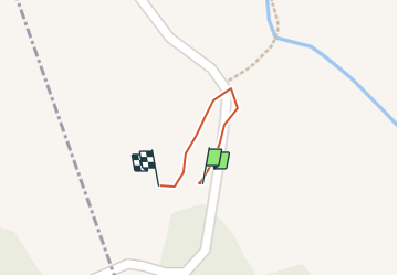
Trail Walking of 63 m to be discovered at Mayotte, Unknown, Dembéni. This trail is proposed by Elisa Lahely.

Description

Test prise d'info Coconi

Elevation profile

Positioning

Country:
France
Region :
Mayotte
Department/Province :
Unknown
Municipality :
Dembéni
Location:
Unknown
Start:(UTM)
515953 ; 8580618 (38L) S.

Trails nearby

Trail Trail Mamoudzou - Traversée S-N Jour 2 - Option2 - Photo
Trail
gromain1000

Trail

Medium
Mamoudzou, Mayotte, Unknown, France
38 km | 58 km-effort
5h 0min
No


Close
My subscriptions