

FREJUS-les lacs -Piste Castelli- Colle Noire - Ruine de Malavalette -DRI
Rando-FCL-Puget-JOURNEE
... Le plaisir d'être bien ensemble

Length
13.1 km

Max alt
202 m

Uphill gradient
316 m

Km-Effort
17.3 km

Min alt
72 m

Downhill gradient
317 m
Boucle
Yes
Creation date :
2023-11-02 08:57:11.286
Updated on :
2023-11-02 09:20:01.409
3h56
Difficulty : Easy

FREE GPS app for hiking
About
Trail On foot of 13.1 km to be discovered at Provence-Alpes-Côte d'Azur, Var, Fréjus. This trail is proposed by Rando-FCL-Puget-JOURNEE.
Description
Prendre le chemin de la louve ,FREJUS et se garer parking de
la Colle Douce .
COORD GPS: 43.4657 , 6.7901
Positioning
Country:
France
Region :
Provence-Alpes-Côte d'Azur
Department/Province :
Var
Municipality :
Fréjus
Location:
Unknown
Start:(Dec)
Start:(UTM)
321255 ; 4814908 (32T) N.
Comments
Trails nearby
Les lacs par les rochers du Caneiret


Walking
Medium
(1)
Saint-Raphaël,
Provence-Alpes-Côte d'Azur,
Var,
France

20 km | 29 km-effort
5h 7min
Yes
Lac de l'Avelan au départ du col d'Auriasque


Walking
Easy
(2)
Fréjus,
Provence-Alpes-Côte d'Azur,
Var,
France

16.6 km | 23 km-effort
5h 39min
Yes
z l'Estarpe 13-11-18


Walking
Easy
(1)
Fréjus,
Provence-Alpes-Côte d'Azur,
Var,
France

6.6 km | 8.2 km-effort
1h 51min
Yes
grand tour esterel par belles pistes larges


Mountain bike
Easy
(2)
Fréjus,
Provence-Alpes-Côte d'Azur,
Var,
France

31 km | 40 km-effort
3h 17min
Yes
Mont Vinaigre par Colle Douce


Walking
Very difficult
(1)
Fréjus,
Provence-Alpes-Côte d'Azur,
Var,
France

22 km | 33 km-effort
6h 1min
Yes
barage du malpasser


Walking
Very easy
(1)
Fréjus,
Provence-Alpes-Côte d'Azur,
Var,
France

5.1 km | 7.6 km-effort
1h 55min
Yes
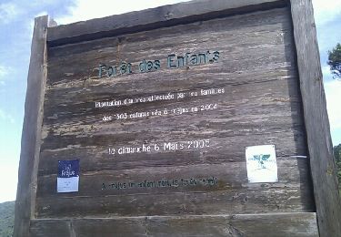
Mont Vinaigre


Walking
Easy
(1)
Fréjus,
Provence-Alpes-Côte d'Azur,
Var,
France

7.8 km | 11.9 km-effort
Unknown
Yes
Sortie du lundi 8 janvier aprés-midi


Walking
Medium
(1)
Fréjus,
Provence-Alpes-Côte d'Azur,
Var,
France

7.4 km | 10.7 km-effort
2h 50min
Yes
activity_9094673788


Mountain bike
Medium
Saint-Raphaël,
Provence-Alpes-Côte d'Azur,
Var,
France

19.6 km | 25 km-effort
1h 42min
Yes




 SityTrail


