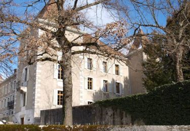
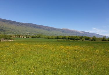
Trail Walking Challex - trompettes  - Photo
© OpenStreetMap contributors
Length
Length
4.3 km
Max alt
Max alt
504 m
Uphill gradient
Uphill gradient
82 m
Km-Effort
Km-Effort  
5.2 km
Min alt
Min alt
437 m
Downhill gradient
Downhill gradient
32 m
Boucle
Boucle
No
Creation date :
2023-10-29 06:56:47.661
Updated on :
2023-11-02 06:15:57.921

(0 Reviews)

Walking
Walking
1h49
Difficulty : Easy

Scan this QR Code to open this trail in the SityTrail application

FREE GPS app for hiking

Logo SityTrail SityTrail

IGN / Geographical institutes

Download SityTrail from the App Store Download SityTrail from Google Play

Logo SityTrail SityTrail World

The world is yours!

Download SityTrail from the App Store Download SityTrail from Google Play Download SityTrail on Huawei AppGallery

About

Trail Walking of 4.3 km to be discovered at Auvergne-Rhône-Alpes, Ain, Challex. This trail is proposed by julien baumont.

Elevation profile

Photos

Positioning

Country:
France
Region :
Auvergne-Rhône-Alpes
Department/Province :
Ain
Municipality :
Challex
Location:
Unknown
Start:(UTM)
728616 ; 5116640 (31T) N.

Trails nearby

Trail Walking Challex - Circuit du vignoble - Challex - Photo
Walking
tracegps

Walking

Easy
Challex, Auvergne-Rhône-Alpes, Ain, France
7 km | 8.8 km-effort
1h 45min
Yes
Trail Walking Dardagny - wa31 - Photo
Walking
GUIDE+

Walking

Very easy
Dardagny, Geneva, Unknown, Switzerland
14.5 km | 17.2 km-effort
Unknown
No
Trail Walking Péron - trom - Photo
Walking
julien baumont

Walking

Easy
Péron, Auvergne-Rhône-Alpes, Ain, France
5.1 km | 5.5 km-effort
3h 29min
Yes
Trail Horseback riding Péron - Prés Bouillet - Photo
Horseback riding
Tanguyeu

Horseback riding

Medium
Péron, Auvergne-Rhône-Alpes, Ain, France
20 km | 30 km-effort
3h 39min
Yes
Trail Walking Viry - AuxGues - Photo
Walking
afleu

Walking

Very easy
Viry, Auvergne-Rhône-Alpes, Upper Savoy, France
12.7 km | 14.9 km-effort
5h 4min
Yes
Trail Horseback riding Péron - Le près neuf  - Photo
Horseback riding
Tanguyeu

Horseback riding

Very easy
Péron, Auvergne-Rhône-Alpes, Ain, France
2.8 km | 3.1 km-effort
33min
Yes
Trail Equestrian Péron - Randonnée St jean de gonville - Photo
Equestrian
Tanguyeu

Equestrian

Easy
Péron, Auvergne-Rhône-Alpes, Ain, France
22 km | 27 km-effort
4h 22min
Yes
Trail Walking Chancy - Ballade autour de Chancy - Photo
Walking
yveshumbert

Walking

Very easy
Chancy, Geneva, Unknown, Switzerland
5.2 km | 6.2 km-effort
1h 30min
Yes
Trail Walking Dardagny - YHH126 La Plaine - Croix-de-Rozon - Photo
Walking
yveshumbert

Walking

Difficult
Dardagny, Geneva, Unknown, Switzerland
26 km | 32 km-effort
5h 0min
No


Close
My subscriptions