


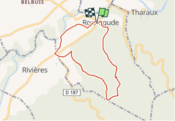

16.9 km | 25 km-effort


User


FREE GPS app for hiking
 SityTrail
IGN / Geographical institutes
SityTrail World
The world is yours!
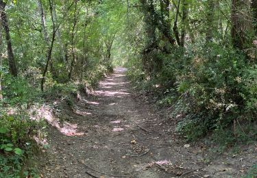
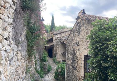
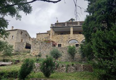
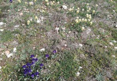
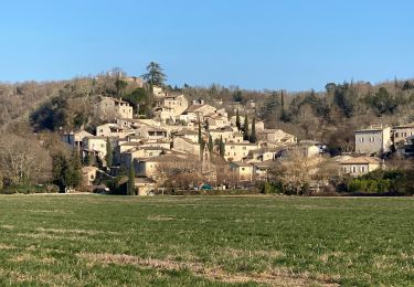
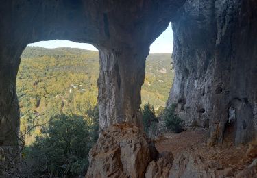
Trail Walking of 7.4 km to be discovered at Occitania, Gard, Rochegude. This trail is proposed by ganinette.
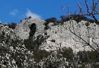
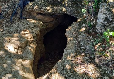
A voir "Grotte des camisards" (Lampe) "Château de Theyrargues" puis le "Dolmen du tonnerre".
Walking
Walking
Walking

Walking
Walking
Walking
Walking