


5.6 km | 6.7 km-effort


User


FREE GPS app for hiking
 SityTrail
IGN / Geographical institutes
SityTrail World
The world is yours!
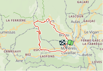
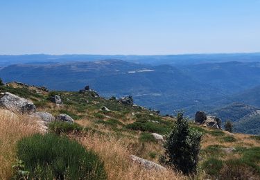
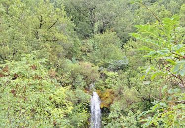
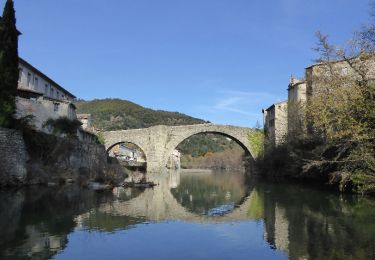
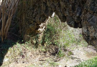
Trail Walking of 16 km to be discovered at Occitania, Gard, Molières-Cavaillac. This trail is proposed by gadafo.
Walking
Walking
Walking
Walking
Walking
Walking
Walking
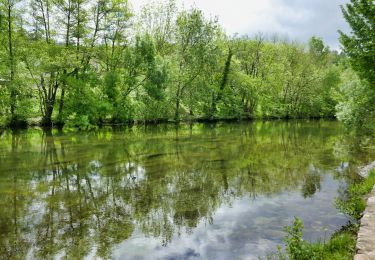
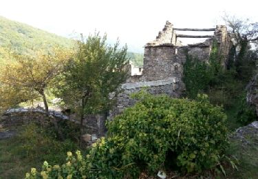
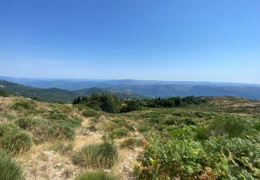
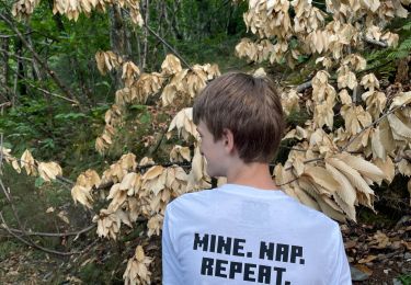
belle randonnée les agoiriers à faire en automne pour profiter des châtaignes