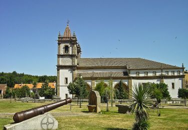
Trail  Samil - Bragança - Rio de Onor - Montesinho - Bragança - Photo

Bragança - Rio de Onor - Montesinho - Bragança

 grmT7
grmT7

User

© OpenStreetMap contributors
Length
Length
135 km
Max alt
Max alt
1452 m
Uphill gradient
Uphill gradient
3489 m
Km-Effort
Km-Effort  
182 km
Min alt
Min alt
510 m
Downhill gradient
Downhill gradient
3488 m
Boucle
Boucle
Yes
Creation date :
2023-10-28 16:26:16.125
Updated on :
2023-11-14 10:36:47.969

(0 Reviews)


Scan this QR Code to open this trail in the SityTrail application

FREE GPS app for hiking

Logo SityTrail SityTrail

IGN / Geographical institutes

Download SityTrail from the App Store Download SityTrail from Google Play

Logo SityTrail SityTrail World

The world is yours!

Download SityTrail from the App Store Download SityTrail from Google Play Download SityTrail on Huawei AppGallery

About

Trail of 135 km to be discovered at North, Bragança District, Samil. This trail is proposed by grmT7.

Elevation profile

Points of interest

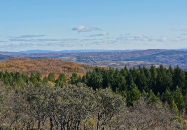
Point of interest França - Lama grande - Photo
grmT7
FRANÇA 
Point of interest França - Barragem - Photo
grmT7
FRANÇA 
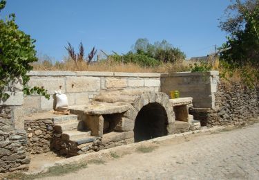
Point of interest Aveleda e Rio de Onor - Rio de Onor - Photo
grmT7
AVELEDA E RIO DE ONOR 

Positioning

Country:
Portugal
Region :
North
Department/Province :
Bragança District
Municipality :
Samil
Location:
Unknown
Start:(UTM)
684567 ; 4627815 (29T) N.

Trails nearby

Trail On foot Outeiro - Da Monumental Basílica de Santo Cristo de Outeiro à imponência do Rio Sabor - Photo
On foot
GUIDE+

On foot

Easy
Outeiro, North, Bragança District, Portugal
13.2 km | 18.5 km-effort
4h 11min
Yes
Trail On foot Sortes - Nas Faldas da Serra da Nogueira - Photo
On foot
GUIDE+

On foot

Easy
Sortes, North, Bragança District, Portugal
14.7 km | 18.5 km-effort
4h 12min
Yes
Trail On foot Vinhais - A Caminho da Ciradelha - Photo
On foot
GUIDE+

On foot

Easy
Vinhais, North, Bragança District, Portugal
7.2 km | 10.6 km-effort
2h 23min
No
Trail On foot Sendas - Os encantos dos “Quercus”: Percurso entre carvalhos, sobreiros e azinheiras - Photo
On foot
GUIDE+

On foot

Medium
Sendas, North, Bragança District, Portugal
18.4 km | 26 km-effort
5h 53min
Yes
Trail On foot Salsas - Rota dos Castanheiros em Flor - Photo
On foot
GUIDE+

On foot

Easy
Salsas, North, Bragança District, Portugal
11.6 km | 14.8 km-effort
3h 21min
Yes
Trail On foot Parada e Faílde - Por Trilhos das Minas da Ribeira - Photo
On foot
GUIDE+

On foot

Easy
Parada e Faílde, North, Bragança District, Portugal
8 km | 10.8 km-effort
2h 26min
No
Trail On foot Castrelos e Carrazedo - Trilho da Floresta e Biodiversidade - Photo
On foot
GUIDE+

On foot

Easy
Castrelos e Carrazedo, North, Bragança District, Portugal
12.3 km | 16.5 km-effort
3h 44min
Yes
Trail On foot Castrelos e Carrazedo - Da Via Romana aos Carvalhais e Lameiros - Photo
On foot
GUIDE+

On foot

Easy
Castrelos e Carrazedo, North, Bragança District, Portugal
9.9 km | 13.6 km-effort
3h 6min
Yes
Trail On foot Rebordainhos e Pombares - Entre Carvalhais e Vales encaixados - Photo
On foot
GUIDE+

On foot

Easy
Rebordainhos e Pombares, North, Bragança District, Portugal
13.8 km | 19.7 km-effort
4h 28min
No


Close
My subscriptions