


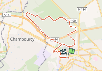

10.7 km | 13.7 km-effort

User


FREE GPS app for hiking
 SityTrail
IGN / Geographical institutes
SityTrail World
The world is yours!
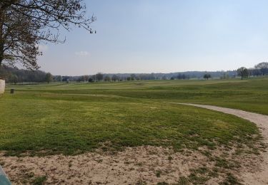
Trail Nordic walking of 10.5 km to be discovered at Ile-de-France, Yvelines, Saint-Germain-en-Laye. This trail is proposed by etouchon.
Forêt de Saint Germain en Laye par le château d’Hennemont, centre hippique de la jonction, lisière Péreire, Golf de Saint Germain en Laye, Porte de Chambourcy et retour vers la route des Princesses, Porte de Beaumont.

Walking
Walking
Walking

Walking

Walking
Walking
Walking
Walking

Walking