


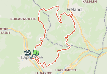

11.1 km | 16.6 km-effort


User


FREE GPS app for hiking
 SityTrail
IGN / Geographical institutes
SityTrail World
The world is yours!
Trail Walking of 11.3 km to be discovered at Grand Est, Haut-Rhin, Lapoutroie. This trail is proposed by scaillet.
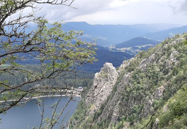
Un départ en pente raide, quelques passages en forêt, mais surtout de belles vues sur Lapoutroie et le val d'Orbey, le Brézouard et la Tête des Faux, ainsi que sur Fréland et le massif du Kaelblin. musee fermé

Walking
Walking

Walking

Walking
Walking

Mountain bike

Walking

Walking
Walking