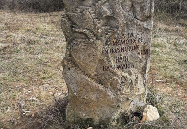
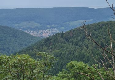
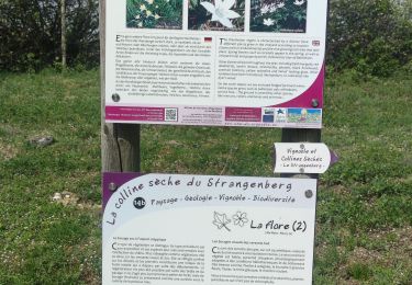
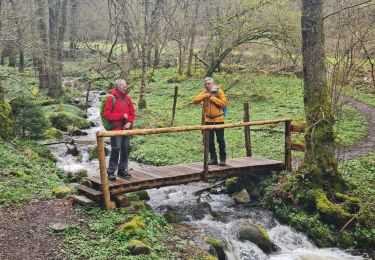
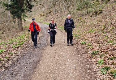
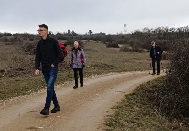
Trail Walking Guebwiller - guebwiller - Photo
© OpenStreetMap contributors
Length
Length
17.5 km
Max alt
Max alt
971 m
Uphill gradient
Uphill gradient
885 m
Km-Effort
Km-Effort  
29 km
Min alt
Min alt
331 m
Downhill gradient
Downhill gradient
888 m
Boucle
Boucle
Yes
Creation date :
2023-10-22 07:15:13.178
Updated on :
2023-10-22 14:39:09.155

(0 Reviews)

Walking
Walking
5h03
Difficulty : Very difficult

Scan this QR Code to open this trail in the SityTrail application

FREE GPS app for hiking

Logo SityTrail SityTrail

IGN / Geographical institutes

Download SityTrail from the App Store Download SityTrail from Google Play

Logo SityTrail SityTrail World

The world is yours!

Download SityTrail from the App Store Download SityTrail from Google Play Download SityTrail on Huawei AppGallery

About

Trail Walking of 17.5 km to be discovered at Grand Est, Haut-Rhin, Guebwiller. This trail is proposed by heurtinpatrick.

Elevation profile

Positioning

Country:
France
Region :
Grand Est
Department/Province :
Haut-Rhin
Municipality :
Guebwiller
Location:
Unknown
Start:(UTM)
365288 ; 5308615 (32T) N.

Trails nearby

Trail Walking Westhalten - 2021 03 04 Westhalten - Photo
Walking
E.BURCK

Walking

Easy
(1)
Westhalten, Grand Est, Haut-Rhin, France
7.7 km | 11.3 km-effort
2h 21min
Yes
Trail Mountain bike Guebwiller - P4  Circuits du Florival 2021   - Photo
Mountain bike
duchaine.nicolas

Mountain bike

Medium
(1)
Guebwiller, Grand Est, Haut-Rhin, France
40 km | 53 km-effort
4h 31min
No
Trail Mountain bike Westhalten - Westhalten - Le tour de la vallée Noble - Photo
Mountain bike
sit68000

Mountain bike

Difficult
(1)
Westhalten, Grand Est, Haut-Rhin, France
24 km | 33 km-effort
2h 30min
Yes
Trail Walking Murbach - Rando du 01/08/2024 - Photo
Walking
boubou68

Walking

Very difficult
Murbach, Grand Est, Haut-Rhin, France
18.9 km | 30 km-effort
5h 53min
Yes
Trail Walking Westhalten - WESTHALTEN ZINKOEPHLE - Photo
Walking
MarcOBRECHT

Walking

Medium
Westhalten, Grand Est, Haut-Rhin, France
10.6 km | 15.3 km-effort
2h 56min
Yes
Trail Walking Soultz-Haut-Rhin - Rando Marcheurs..04/04_2025 - Photo
Walking
boubou68

Walking

Very difficult
Soultz-Haut-Rhin, Grand Est, Haut-Rhin, France
21 km | 35 km-effort
4h 42min
Yes
Trail Walking Jungholtz - Rando Retrouvailles...01/03/2024.par Jean Marc - Photo
Walking
boubou68

Walking

Very difficult
Jungholtz, Grand Est, Haut-Rhin, France
11.3 km | 19.2 km-effort
1h 35min
Yes
Trail Walking Westhalten - Westhalten - Rouffach  - Photo
Walking
Richard68500

Walking

Difficult
Westhalten, Grand Est, Haut-Rhin, France
8.9 km | 13 km-effort
3h 22min
Yes
Trail Walking Buhl - TL 11/23 avec un petit tour dans le vignoble avec départ du parking Côte de l'Appenthal et repas à la Taverne du Vigneron - Photo
Walking
patrickbeyrath

Walking

Medium
(1)
Buhl, Grand Est, Haut-Rhin, France
8.7 km | 12 km-effort
2h 43min
Yes


Close
My subscriptions