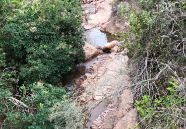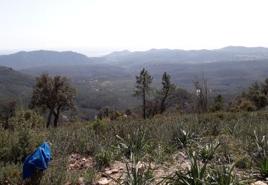

Le Tour du Dramont par les Ferrières

donda
User GUIDE

Length
19 km

Max alt
171 m

Uphill gradient
567 m

Km-Effort
27 km

Min alt
-2 m

Downhill gradient
568 m
Boucle
Yes
Creation date :
2023-10-22 07:11:20.436
Updated on :
2023-11-11 06:35:47.701
6h02
Difficulty : Very difficult

FREE GPS app for hiking
About
Trail Walking of 19 km to be discovered at Provence-Alpes-Côte d'Azur, Var, Saint-Raphaël. This trail is proposed by donda.
Description
Depuis le parcours pédestre de St. Raphaël
Tours du Grand Défends, des Ferrières et du Dramont
Positioning
Country:
France
Region :
Provence-Alpes-Côte d'Azur
Department/Province :
Var
Municipality :
Saint-Raphaël
Location:
Unknown
Start:(Dec)
Start:(UTM)
322826 ; 4810740 (32T) N.
Comments
Trails nearby

Sommet du Bonnet de Capelan


Walking
Very difficult
(1)
Saint-Raphaël,
Provence-Alpes-Côte d'Azur,
Var,
France

17.7 km | 25 km-effort
4h 40min
Yes

Les lacs par les rochers du Caneiret


Walking
Medium
(1)
Saint-Raphaël,
Provence-Alpes-Côte d'Azur,
Var,
France

20 km | 29 km-effort
5h 7min
Yes

le Dramont


Walking
Medium
(2)
Saint-Raphaël,
Provence-Alpes-Côte d'Azur,
Var,
France

5.7 km | 8.3 km-effort
2h 32min
Yes

grand tour esterel par belles pistes larges


Mountain bike
Easy
(2)
Fréjus,
Provence-Alpes-Côte d'Azur,
Var,
France

31 km | 40 km-effort
3h 17min
Yes

Agay - Sainte-Barbe - Étang des Nénuphares


Walking
Easy
(2)
Saint-Raphaël,
Provence-Alpes-Côte d'Azur,
Var,
France

5 km | 6.2 km-effort
2h 8min
Yes

Mont Vinaigre par Colle Douce


Walking
Very difficult
(1)
Fréjus,
Provence-Alpes-Côte d'Azur,
Var,
France

22 km | 33 km-effort
6h 1min
Yes

Barre du Roussivau - Sommets des Perthus


Walking
Very difficult
Saint-Raphaël,
Provence-Alpes-Côte d'Azur,
Var,
France

15.7 km | 24 km-effort
5h 22min
Yes

Rando des Etangs


Walking
Very difficult
Saint-Raphaël,
Provence-Alpes-Côte d'Azur,
Var,
France

16.1 km | 22 km-effort
4h 1min
Yes

Rando Light (A) depuis le Parcours Sportif St Raphaël


Walking
Very easy
Saint-Raphaël,
Provence-Alpes-Côte d'Azur,
Var,
France

10.4 km | 13.5 km-effort
3h 3min
Yes


 SityTrail


