
Circuit de Monchy-Lagache , Caulaincourt

José800
User

Length
12.1 km

Max alt
100 m

Uphill gradient
112 m

Km-Effort
13.6 km

Min alt
59 m

Downhill gradient
110 m
Boucle
Yes
Creation date :
2023-10-20 19:52:20.834
Updated on :
2023-10-20 20:08:37.654
3h05
Difficulty : Difficult

FREE GPS app for hiking
About
Trail Walking of 12.1 km to be discovered at Hauts-de-France, Somme, Monchy-Lagache. This trail is proposed by José800.
Description
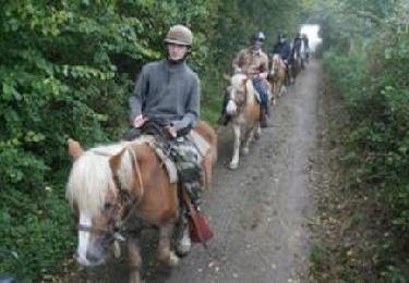
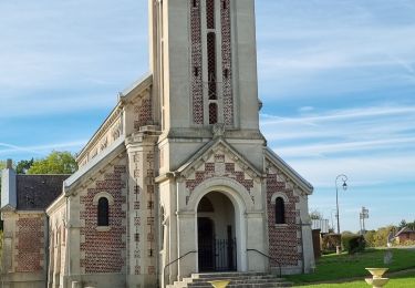
L' Omignon musarde entre Trefcon et Caulaincourt avec son cortége d 'etangs et de bois . Après L' etang de Caulaincourt , ce circuit tranquille et ombragé rejoint les ruines de l' église Saint Martin- des-Prés .
Positioning
Country:
France
Region :
Hauts-de-France
Department/Province :
Somme
Municipality :
Monchy-Lagache
Location:
Unknown
Start:(Dec)
Start:(UTM)
503243 ; 5522181 (31U) N.
Comments
Trails nearby

Saint-Martin-des-Prés


Walking
Very easy
Trefcon,
Hauts-de-France,
Aisne,
France

5.7 km | 6.4 km-effort
Unknown
Yes


Tréfonds 2022


Walking
Caulaincourt,
Hauts-de-France,
Aisne,
France

6.4 km | 7.2 km-effort
1h 26min
Yes

Saint-Martin-des-Prés


Walking
Easy
Trefcon,
Hauts-de-France,
Aisne,
France

5.7 km | 6.4 km-effort
2h 0min
Yes

Ugny l Equipée


On foot
Easy
Ugny-l'Équipée,
Hauts-de-France,
Somme,
France

12.5 km | 13.6 km-effort
3h 5min
Yes

Monchy-Lagache / Sequehart 3


Coupling
Very easy
Monchy-Lagache,
Hauts-de-France,
Somme,
France

30 km | 34 km-effort
Unknown
No

La vallée de la marche verte à Athies 80


On foot
Easy
Athies,
Hauts-de-France,
Somme,
France

10.4 km | 11.7 km-effort
2h 40min
Yes

ATHIES (80) - La Vallée de la Marche Verte


Walking
Medium
Athies,
Hauts-de-France,
Somme,
France

10.4 km | 11.7 km-effort
2h 39min
Yes

la vallée de l eau Mignonne


On foot
Easy
Monchy-Lagache,
Hauts-de-France,
Somme,
France

9.5 km | 10.7 km-effort
2h 25min
Yes


 SityTrail


