


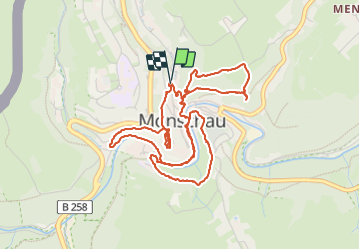


14.8 km | 18.2 km-effort

User


FREE GPS app for hiking
 SityTrail
IGN / Geographical institutes
SityTrail World
The world is yours!
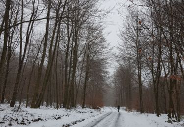
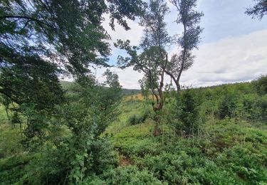
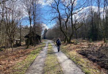
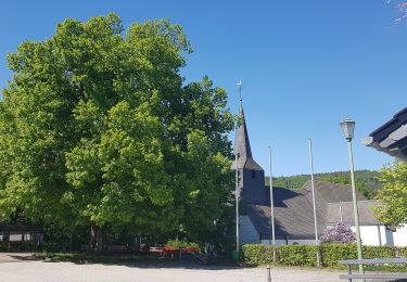
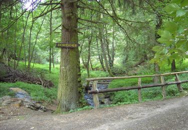
Trail Walking of 5.7 km to be discovered at North Rhine-Westphalia, Städteregion Aachen, Monschau. This trail is proposed by Boubby.
Tour complet de Monschau alliant nature et histoire


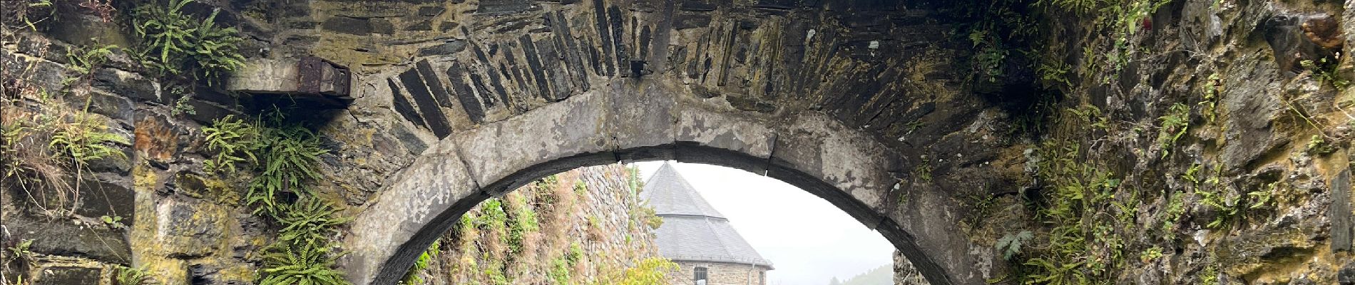
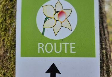
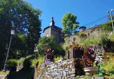
35 photos in total. Please click on a photo to see them all in the gallery.
Walking
Walking
Walking
Walking
Walking
On foot
On foot
On foot

On foot