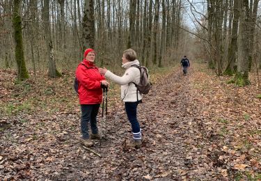
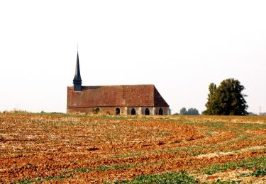
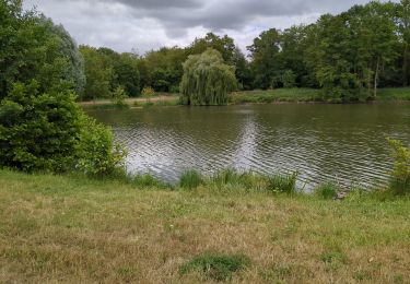
Trail  Sorel-Moussel - La boucle de l'Eure sorélienne - Photo

La boucle de l'Eure sorélienne

 baron58
baron58

User

© OpenStreetMap contributors
Length
Length
9 km
Max alt
Max alt
144 m
Uphill gradient
Uphill gradient
107 m
Km-Effort
Km-Effort  
10.4 km
Min alt
Min alt
66 m
Downhill gradient
Downhill gradient
106 m
Boucle
Boucle
Yes
Creation date :
2023-10-19 11:14:19.106
Updated on :
2023-10-19 11:15:29.422

(0 Reviews)


Scan this QR Code to open this trail in the SityTrail application

FREE GPS app for hiking

Logo SityTrail SityTrail

IGN / Geographical institutes

Download SityTrail from the App Store Download SityTrail from Google Play

Logo SityTrail SityTrail World

The world is yours!

Download SityTrail from the App Store Download SityTrail from Google Play Download SityTrail on Huawei AppGallery

About

Trail of 9 km to be discovered at Centre-Loire Valley, Eure-et-Loir, Sorel-Moussel. This trail is proposed by baron58.

Elevation profile

Points of interest

Point of interest Sorel-Moussel - Parking, sortie du hameau des Christophes - Photo
baron58
Point of interest Abondant - Carrefour des Polissoirs - Photo
baron58
Point of interest Sorel-Moussel - Croisement du Pont de Fer - Photo
baron58
Point of interest Marcilly-sur-Eure - Route, à droite - Photo
baron58
MARCILLY-SUR-EURE 
Point of interest Marcilly-sur-Eure - Berges du - Photo
baron58
MARCILLY-SUR-EURE 
Point of interest Marcilly-sur-Eure - Rue de la Mesangère - Photo
baron58
MARCILLY-SUR-EURE 
Point of interest Marcilly-sur-Eure - Marcilly Centre Bourg - Photo
baron58
MARCILLY-SUR-EURE 
Point of interest Sorel-Moussel - Le gravier de Gargantua - Photo
baron58
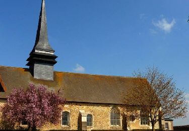
Point of interest Sorel-Moussel - Eglise Saint Nicolas  - Photo
baron58
SOREL-MOUSSEL 
Point of interest Sorel-Moussel - Château de Sorel - Photo
baron58
SOREL-MOUSSEL 
Point of interest Sorel-Moussel - Croisement de Fort Harrouard - Photo
baron58
Point of interest Sorel-Moussel - Parking, sortie du hameau des Christophes - Photo
baron58

Positioning

Country:
France
Region :
Centre-Loire Valley
Department/Province :
Eure-et-Loir
Municipality :
Sorel-Moussel
Location:
Unknown
Start:(UTM)
381116 ; 5409267 (31U) N.

Trails nearby

Trail Walking Louye - 10-01-2020 Louye  - Photo
Walking
lestelou27

Walking

Louye, Normandy, Eure, France
12.7 km | 14.3 km-effort
3h 12min
Yes
Trail Walking Anet - Anet 18.30 - Photo
Walking
togolo28

Walking

Medium
(2)
Anet, Centre-Loire Valley, Eure-et-Loir, France
18.3 km | 21 km-effort
4h 38min
Yes
Trail Mountain bike Croth - La vallée d'Eure - Croth - Photo
Mountain bike
tracegps

Mountain bike

Medium
Croth, Normandy, Eure, France
27 km | 31 km-effort
2h 15min
Yes
Trail Walking Marcilly-sur-Eure - Circuit de Marcilly-sur-Eure - Photo
Walking
tracegps

Walking

Medium
(2)
Marcilly-sur-Eure, Normandy, Eure, France
8.6 km | 10 km-effort
2h 10min
Yes
Trail Walking Croth - Circuit de Croth - Photo
Walking
tracegps

Walking

Easy
Croth, Normandy, Eure, France
6.1 km | 6.8 km-effort
1h 30min
Yes
Trail Mountain bike Louye - La Transcoudanne - Louye - Photo
Mountain bike
tracegps

Mountain bike

Medium
Louye, Normandy, Eure, France
16 km | 17.8 km-effort
2h 0min
Yes
Trail Walking Croth - croth - Photo
Walking
JamesVautier

Walking

Medium
Croth, Normandy, Eure, France
27 km | 33 km-effort
3h 8min
No
Trail Mountain bike Abondant - Forêt de Dreux - Photo
Mountain bike
tracegps

Mountain bike

Medium
Abondant, Centre-Loire Valley, Eure-et-Loir, France
45 km | 52 km-effort
3h 0min
Yes
Trail Mountain bike Abondant - 2024-12-18 NP Dreux - Photo
Mountain bike
patrick2m

Mountain bike

Medium
Abondant, Centre-Loire Valley, Eure-et-Loir, France
25 km | 28 km-effort
2h 53min
Yes


Close
My subscriptions