


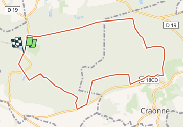

10.8 km | 13.4 km-effort


User


FREE GPS app for hiking
 SityTrail
IGN / Geographical institutes
SityTrail World
The world is yours!
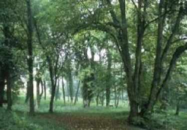
Trail Walking of 10.3 km to be discovered at Hauts-de-France, Aisne, Bouconville-Vauclair. This trail is proposed by José800.
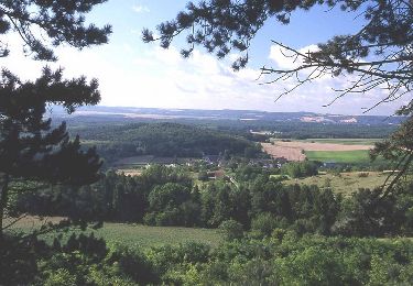
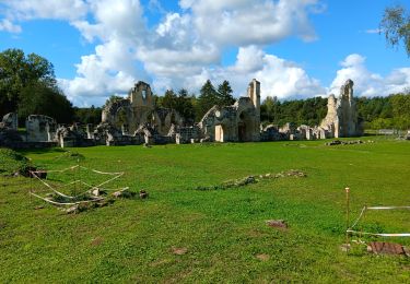
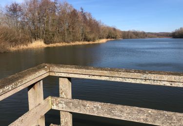
Itinéraire essentiellement forestier ,avec des passages dégagés offrant de superbes points de vue . site de la malheureuse offensive du chemin des Dames d avril 1917 .Une très belle dans un superbe paysage .
Walking

Walking

Walking
Walking
Walking

Walking
Walking

Mountain bike

Walking