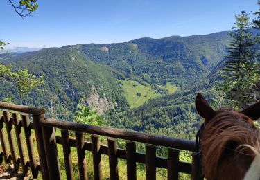
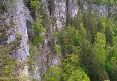
10.9 km | 14.5 km-effort
Giron
algecko
User
Length
22 km
Max alt
1217 m
Uphill gradient
533 m
Km-Effort
29 km
Min alt
960 m
Downhill gradient
539 m
Boucle
Yes
Creation date :
2023-10-12 07:30:14.0
Updated on :
2023-10-12 13:05:49.315
4h34
Difficulty : Difficult
FREE GPS app for hiking
About
Trail Walking of 22 km to be discovered at Auvergne-Rhône-Alpes, Ain, Giron. This trail is proposed by algecko.
Positioning
Country:
France
Region :
Auvergne-Rhône-Alpes
Department/Province :
Ain
Municipality :
Giron
Location:
Unknown
Start:(Dec)
Start:(UTM)
713977 ; 5122907 (31T) N.
Comments
Trails nearby
prairie d'échallon belleydoux la borne aux lion des cernoises
Walking
Easy
Échallon,
Auvergne-Rhône-Alpes,
Ain,
France
3h 2min
Yes
belleydoux roches d'orvaz
Walking
Difficult
(1)
Belleydoux,
Auvergne-Rhône-Alpes,
Ain,
France
10.6 km | 16.9 km-effort
3h 18min
Yes
echallon
Walking
Medium
Échallon,
Auvergne-Rhône-Alpes,
Ain,
France
12.6 km | 18 km-effort
4h 51min
Yes
Echallon: moyenne Semine
Walking
Easy
Échallon,
Auvergne-Rhône-Alpes,
Ain,
France
10.5 km | 16.2 km-effort
2h 52min
Yes
Forêt d'Echallon, de Belleydoux
Walking
Medium
Échallon,
Auvergne-Rhône-Alpes,
Ain,
France
16.6 km | 24 km-effort
4h 31min
Yes
Champfromier les avalanches
Walking
Medium
Champfromier,
Auvergne-Rhône-Alpes,
Ain,
France
13.5 km | 22 km-effort
3h 26min
Yes
202205 rallye Ain J2 Giron-Lelex
Horseback riding
Medium
Giron,
Auvergne-Rhône-Alpes,
Ain,
France
21 km | 29 km-effort
4h 0min
No