


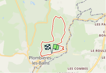


7.9 km | 10.2 km-effort


User


FREE GPS app for hiking
 SityTrail
IGN / Geographical institutes
SityTrail World
The world is yours!
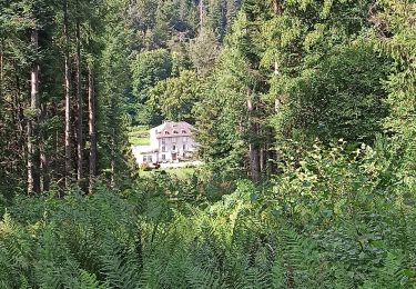
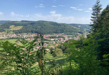
Trail Walking of 5.8 km to be discovered at Grand Est, Vosges, Plombières-les-Bains. This trail is proposed by Emmanuel Remy.
La Chapelle de la Vierge des Champs, campée au sommet d'une colline verdoyante, porte bien son nom. Avec son toit en laves du pays, elle s'intègre parfaitement au paysage.
Walking
Walking
Nordic walking
Horseback riding
Walking
Horseback riding
Walking
Walking