Trail  Langsur - Sentier des crêtes de la Moselle - Photo

Sentier des crêtes de la Moselle

© OpenStreetMap contributors
Length
Length
98 km
Max alt
Max alt
445 m
Uphill gradient
Uphill gradient
2722 m
Km-Effort
Km-Effort  
134 km
Min alt
Min alt
109 m
Downhill gradient
Downhill gradient
2597 m
Boucle
Boucle
No
Creation date :
2023-10-09 17:18:17.445
Updated on :
2023-10-09 17:19:19.846

(0 Reviews)


Scan this QR Code to open this trail in the SityTrail application

FREE GPS app for hiking

Logo SityTrail SityTrail

IGN / Geographical institutes

Download SityTrail from the App Store Download SityTrail from Google Play

Logo SityTrail SityTrail World

The world is yours!

Download SityTrail from the App Store Download SityTrail from Google Play Download SityTrail on Huawei AppGallery

About

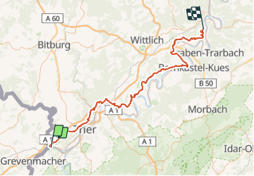
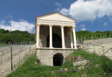
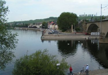
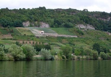
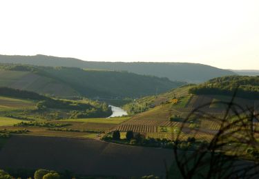
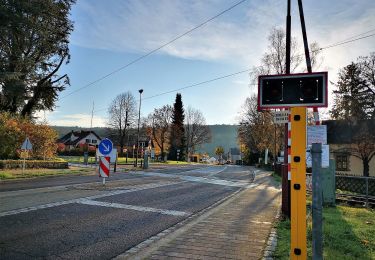
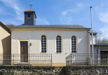
Trail of 98 km to be discovered at Rhineland-Palatinate, Landkreis Trier-Saarburg, Langsur. This trail is proposed by pasvraimec.

Elevation profile

Positioning

Country:
Germany
Region :
Rhineland-Palatinate
Department/Province :
Landkreis Trier-Saarburg
Municipality :
Langsur
Location:
Unknown
Start:(UTM)
320870 ; 5509698 (32U) N.

Trails nearby

Trail On foot Igel - Igel2 liersberg - herresthal - Photo
On foot
PRO

On foot

Easy
Igel, Rhineland-Palatinate, Landkreis Trier-Saarburg, Germany
8.4 km | 10.9 km-effort
2h 28min
Yes
Trail On foot Igel - igel4 um den heidenberg - Photo
On foot
PRO

On foot

Easy
Igel, Rhineland-Palatinate, Landkreis Trier-Saarburg, Germany
7.8 km | 9.4 km-effort
2h 8min
Yes
Trail On foot Igel - igel1 igel-liersberg - Photo
On foot
PRO

On foot

Easy
Igel, Rhineland-Palatinate, Landkreis Trier-Saarburg, Germany
8.4 km | 11.9 km-effort
2h 41min
Yes
Trail On foot Igel - Igel3 Gruthenhäuschen - Photo
On foot
PRO

On foot

Easy
Igel, Rhineland-Palatinate, Landkreis Trier-Saarburg, Germany
5.5 km | 7 km-effort
1h 35min
Yes
Trail On foot Langsur - Igel5 römerstraße - Photo
On foot
PRO

On foot

Easy
Langsur, Rhineland-Palatinate, Landkreis Trier-Saarburg, Germany
6.5 km | 8.4 km-effort
1h 54min
Yes
Trail On foot Wasserliesch - Wasserliescher Panoramasteig - Photo
On foot
PRO

On foot

Medium
Wasserliesch, Rhineland-Palatinate, Landkreis Trier-Saarburg, Germany
16 km | 23 km-effort
5h 8min
Yes
Trail On foot Konz - G9: Konz <=> Saarburg - Photo
On foot
PRO

On foot

Medium
Konz, Rhineland-Palatinate, Landkreis Trier-Saarburg, Germany
20 km | 27 km-effort
6h 10min
No
Trail On foot Mertert - FB Mertert - Photo
On foot
PRO

On foot

Easy
Mertert, Unknown, Canton Grevenmacher, Luxembourg
9.6 km | 13 km-effort
2h 57min
Yes
Trail On foot Rosport-Mompach - Fleche Bleu Born - Photo
On foot
PRO

On foot

Easy
Rosport-Mompach, Unknown, Canton Echternach, Luxembourg
8.5 km | 10.8 km-effort
2h 27min
Yes


Close
My subscriptions